Medusa MS-350 Gamma-Ray Mapping System
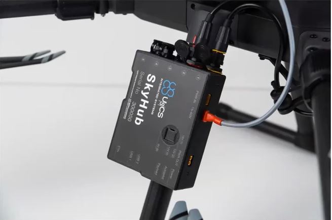
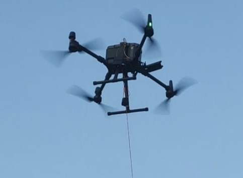
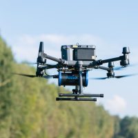
The Medusa MS-350 at only 2.7kg, can be flown on M300 or M350RTK UAV platforms but also doubles up as a hand held device. Utilising the SkyHub TTF package, all data is fed into the SkyHub for easy download and post flight analysis. The TTF enables the drone to be flown accurately over undulating green or brown field sites often found in construction, quarries, and landfill sites amongst others.
Provides:
- Radon Gas Mapping: Before major building developments can take place, developers are legally obliged to perform radon gas investigations and must seek to get a local report. These reports tend to come from existing geological mapping tools and are not specific to a local area. This often results in costly redevelopments by the construction firm later on when readings inside a building exceeds government-stipulated safe gas levels.
- Geology & Mineral Exploration: Radiometrics is one of the geophysical tools used as a standard in mineral exploration. Regional surveys are conducted from plane-borne measurements while smalls-scale, detailed, surveys can be conducted from ground spot sampling or walking surveys.
- Mapping Sediment: Mapping gamma radiation is a very effective method to determine the texture of sediments. It is known that the concentration of natural occurring radionuclides correlates strongly to the concentration of fine material (clay) in sediment.
- Soil Texture: Clay content of fields can be useful to farmers. The high resolution spatial soil information enables better field rotation leading to better crop yeilds.
- Contamination of Soil and Sediment:
- Dioxins – Dioxins originate from activities in harbours (vessel traffic, spill of organic components) or can be released from all sorts of chemical industries. These pollutants are diffusely released in the system and bind to the clay particles in the sediment.
- Heavy Metals – Correlations between sediment contaminants like heavy metals or organic micro-compounds and natural or anthropogenic radionuclides (40K, 238U, 232Th, 137Cs) facilitates in situ mapping of the contaminated sediment using gamma-ray detectors.
- Man Made Radiation Detection – It can determined an amount of man-made radiation present in sediment. This is represented as a “heat-map” that shows where fission products are present in the sediment.
- Organic Pollutants – Organic pollutants originate from various sources along a river system. These pollutants are diffusely released in the system and bind to the clay particles in the sediment.
- Mine Tailings – Risk assessment of sites contaminated from mine tailings asks for objective and quantitative methods for site investigation.
Links to Data Sheet
Make an Enquiry about a Sensor Solution
Make an enquiry to find out more about a sensor system. Enquire via the below enquiry button.
