
Your Official Partner for
UgCS Integrated Systems
The UK's Test & Training Centre dedicated
to UAS/Drone Geophysical Sensors

UgCS Drone Software - Automated Missions, LIDAR Toolset, and Live Video
UNIVERSAL Ground Control software for UAV professionals
- Waypoints, Linear, Circle, Perimeter, Area Scan tools
- Automatic Photogrammetry, Vertical (Facade) scan, Corridor mapping, KML/CSV data import
- DEM import
- Elevation profile & Terrain following mode
- Geo-referenced image import
- Custom map overlays
- ADS-B Receiver
Ground control software for survey experts using more advanced LIDAR sensors. Includes PRO features plus
- LIDAR survey toolset*, unlocking the full potential of LIDAR surveys through preset flight patterns, automatic calibration, turns, constant line spacing, and buffer.
UgCS EXPERT License is now available only through SPH Engineering official resellers like JBUAS.
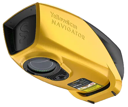
*LiDAR sensors / manufacturers – DJI L1, L2, YellowScan, Phoenix LiDAR, RIEGL, LIDAR USA. GeoCue, Rock Robotics, GeoSun LIDAR, 3DT Scanfly, Topodrone, Balko Tech

Advanced VIDEO features for complex missions and scenarios. Includes PRO and EXPERT functionality plus
- Multi operator software for distributed drone teams
- Live geotagged video streaming
- Multiple SDK connections
- ADS-B Responder
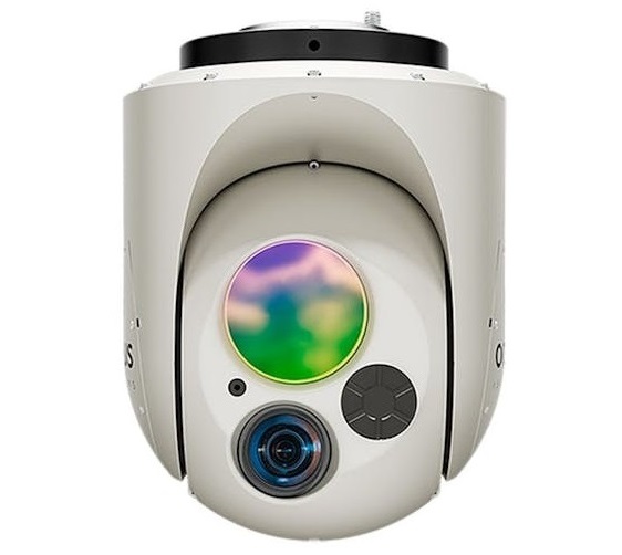
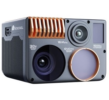
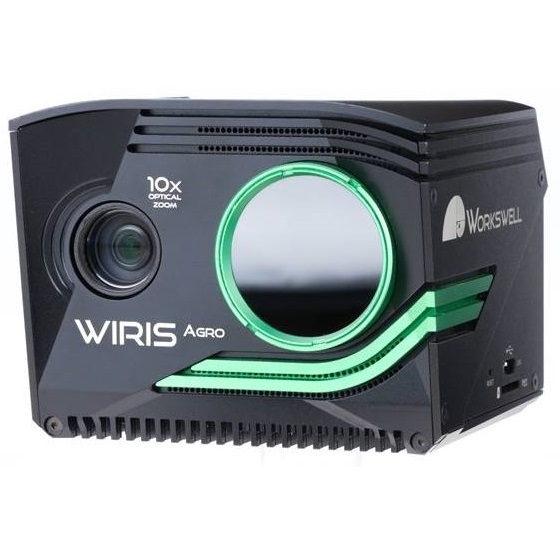
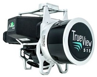
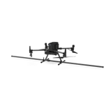
UgCS Drone Sensor Systems
JB Unmanned Aerial Systems (JBUAS) is a trading name of JBPRM Ltd. As an official UgCS drone systems reseller or agent in the UK, we are able to provide integrated aerial systems on behalf of UgCS Intergrated Systems. UgCS is a trade name of SPH Engineering.
UgCS Integrated Systems is one of SPH Engineering’s product lines that involves an integration between a drone, various sensors, and UgCS software.
UgCS Drone Systems are integrated UAV kits from SPH Engineering. Each UgCS Drone kit comprises a sensor, UgCS software, the UgCS SkyHub onboard computer, and the UgCS True Terrain Following (TTF) radar.
Working across multiple sectors including Construction, Power, Oil & Gas, and the Public Services amongst many others, we work closely with our industry partners to deliver integrated sensor systems including Ground Penetrating Radar (GPR), Echosounders, Sonar, Magnetometers, Metal Detectors, Conductivity Sensors, Methane Detectors. Other sensors can be integrated on request.
UgCS Integrated Systems Philosophy
All UgCS Integrated Systems are built around a central philosophy – sensor interchangeability.
Building a sensor system around core equipment means different geotechnical sensors can be added quickly and easily as and when required to suit a particular project need. To this end, UgCS sensor systems centre around an onboard computer called SkyHub that makes changing sensors simple.
SkyHub consists of both a hardware and software set designed to:
- Implement custom flight control algorithms.
- Boost UAV capabilities to conduct commercial surveys and inspection properly.
- Collect and store data acquired by an onboard sensor.
- Enable the download of stored data in various formats for analysis
SkyFront Perimeter 8 UAV
2 hours flying time with 5kg payload
Perimeter 8 Hybrid-electric UAV
The Perimeter 8 can fly for 1 hour with a 7.5kg payload in a wide range of operating conditions. Utilising a non-DJI autopilot; based on the Pixhawk standard architecture.

Application Insights
Drone Thermal
Drone Thermal
UAV Thermal cameras for infrared inspections and surveys across various sectors
Drone Bathymetry
Drone Bathymetry
When boats are not suitable and time is precious, UAV bathymetry provides the solution
Drone Methane
Drone Methane
UAV methane detection provides fast and accurate data to keep your site on track for NetZero2050
Drone Magnetic
Drone Magnetic
UXO, utility, and archaeology surveys are done quickly with a UAV magnetometer solution
Drone GPR
Delivering Value for Money and an Outstanding Service
“We have bought several systems from JBUAS and the ongoing service we continue to receive is simply outstanding. Whenever we have needed support, they have been there like an extension of our business, to provide technical advice and support in a timely manner”
Managing Director
Leading Drone Survey Company
“JBUAS recently set us up with a successful trial of the UgCS TTF system and a geophysical payload. This included a generous package of training and documentation, both in the hardware setup and familiarisation with all the software. We were impressed by the performance of the integrated system, and moreover by the level of support offered by JBUAS throughout the project. Through JBUAS we have now acquired a tailored package hardware and software including the TTF system, and are looking forward to taking to the skies with it again soon”.
Aerial Surveys Officer
Leading Survey Company
Our Partners


