UAV Drone Geophysical Sensor Test & Training Centre
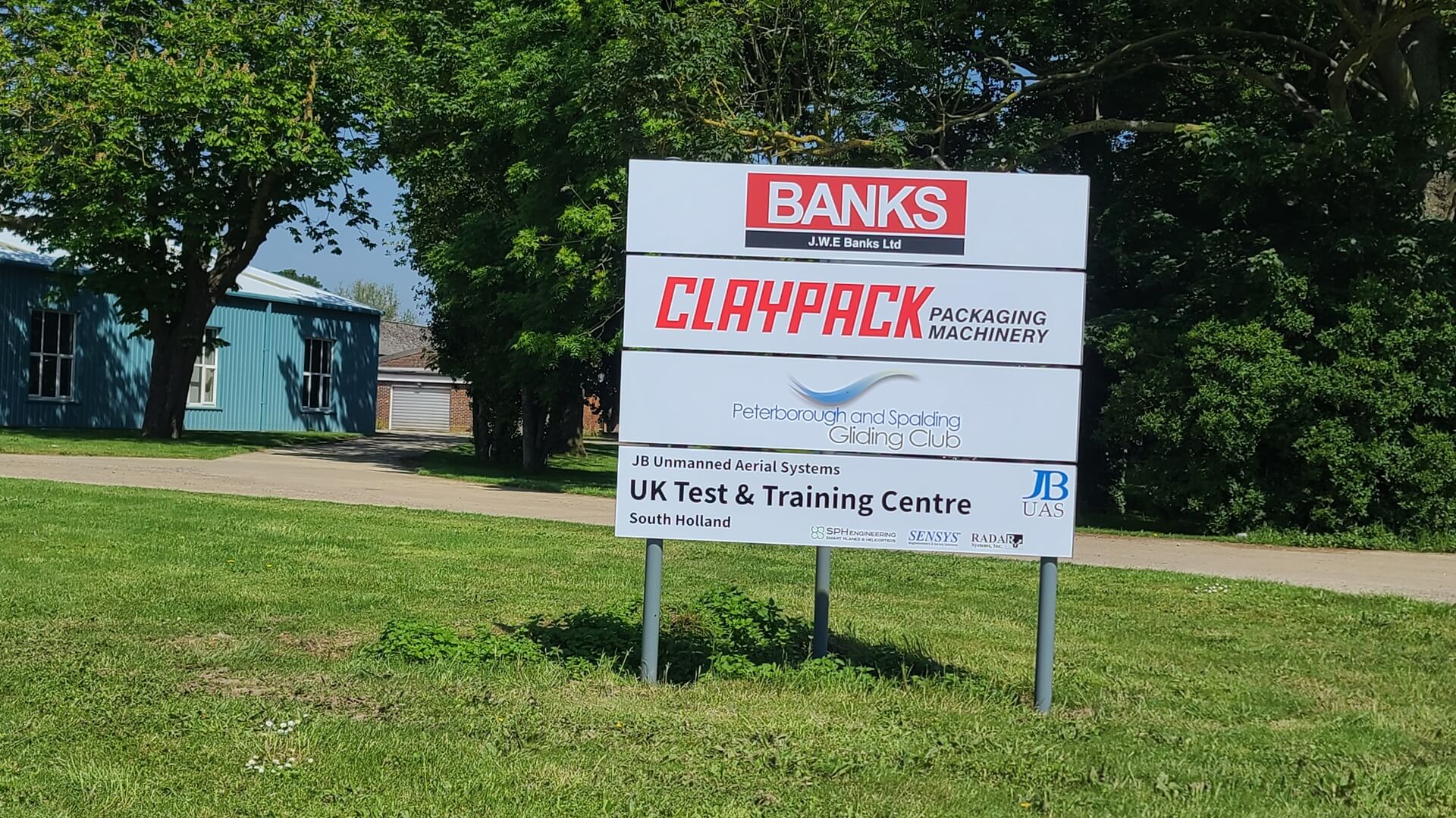
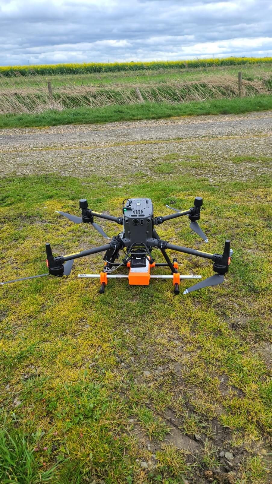
JBUAS, the UKs leading UAV drone geophysical sensor specialist, has opened a dedicated drone test centre for testing, training, and calibrating geophysical sensors integrated to UAV drones. The purpose-built site incorporates a true terrain following (TTF) area, an obstacle mitigation area, an echosounder test pond, a dedicated magnetometer scanning area, a ‘bespoke’ buried items area, and a dedicated training room.
The 7500 sqm site located in South Holland, Lincolnshire around 25 minutes by car from the main A1 Peterborough A1M services junction. The drone test centre is available for hire to industrial customers as well as being used by JBUAS to demonstrate UAV drone sensors, train customers in configuring and calibrating integrations, and for post-purchase familiarisation in using UAV sensory equipment.
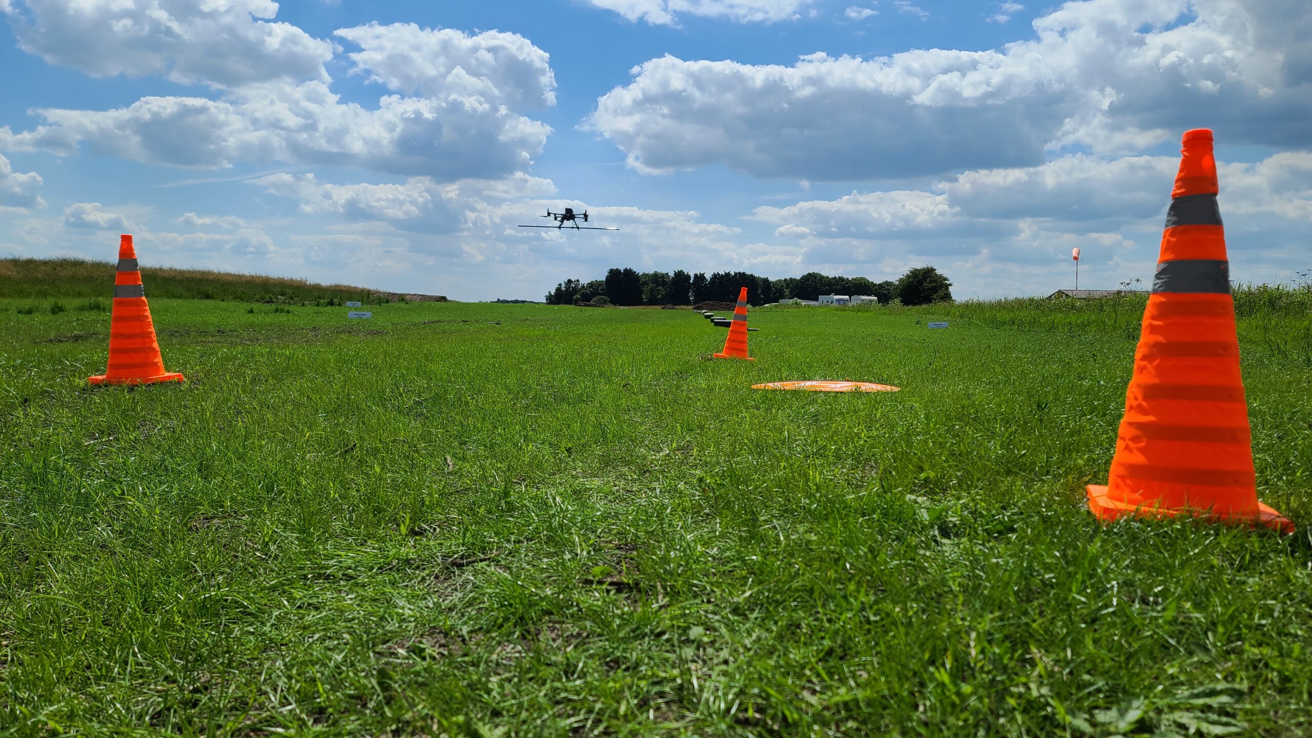
Compare conventional survey equipment to our drone deployed sensors
This is a totally free service. For cart/handheld v drone sensor performance comparisons, we are happy to fly our drone sensor systems. This leaves our customers to simply concentrate on bringing along their own conventional survey equipment. At the end of the session, we provide the customer with a set of comparative data to take back to base. Book a free visit: Make an Enquiry
YES – CUSTOMERS CAN FLY THEIR OWN DRONES TOO…
To fly geophysical sensors at our UAV drone test centre, a pilot must have passed the GVC drone flying test or General Visual Line of Sight (GVC) qualification from an RAE, and hold the appropriate payload insurances. An RAE is a CAA Recognised Assessment Entity that is authorised to deliver the drone flying test GVC and A2 CofC Drone courses and award the certificates. A list of these RAE can be found here: Recognised Assessment Entity.
Book a free visit: Make an Enquiry
UAV Drone Test Centre Objectives:
1. Promote our ‘See it fly before you buy’ concept.
2. Promote the safe and effective use of drone geophysical sensor systems.
3. Promote product development and use case identification.
Achieved by providing an ‘open-to-all’ facility that will:
– Inform and demonstrate the capability and safe operation of drone geophysical sensor systems.
– Empower customers to demonstrate, test and trial their purchased equipment.
– Work with universities and industry to test tech-use case potential.
Our facilities:
- True Terrain Following (TTF) area. A specially sculpted area designed to demonstrate how the TTF enables UAS to follow the terrain at a set AGL. This area also provides pilots with a test course to familiarise themselves with the practical operation of the TTF technology.
- Obstacle Mitigation Area. This area will be used to train pilots how to navigate, by switching between automated and manual flight programmes, to circumvent fences and other obstacles. With several obstacles to tackle, this area forces the pilot to scan between controller camera view and drone VLOS whilst trusting the drone onboard OMS.
- Water Pond. The test pond serves to test and demonstrate UAS deployed echosounder sensors. This facility is also able to demonstrate water sampling equipment and the highly effective Grasshopper flying technique for both echosounders, water sampling, and future sensors.
- Magnetometer scanning area. Our magnetometer area consists of a grassed over area for ground located targets as well as smaller (Fe Mass) buried targets.
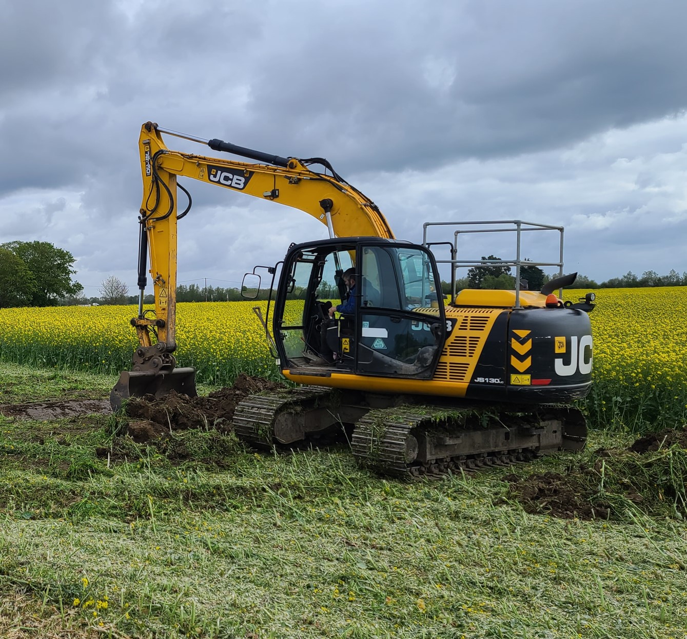
- Bespoke Buried items Area. This area can be used for testing and trailing various sensors including magnetometers, ground penetrating radars (GPR), metal detectors, and even thermal cameras, amongst others. With access to a heavy tracked JCB excavator, the facility has the on-site capability to bury specific larger items (e.g. UXO, Concrete/Steel vessels, Utilities etc.) on request to several metres below the surface. Backfill with a range of materials such as sand and gravel to mimic real site conditions, is also possible.
- Dedicated Training Room. The training room is located on site and is a short walk from the flying area. The training room provides users with a comfortable learning environment where theoretical concepts and approaches can be introduced before practical flying takes place. This room is also available to industry as part of the facility hire fee.
Surrogate Targets (Drone Magnetometry Tests)
Besides customers being able to bring along their own targets, JBUAS has commissioned a significant set of surrogate targets for use with drone sensor systems. We can bury a specifically chosen array of small to large items (size and mass), or have the JBUAS targets made available for surface-located proving tests.
Specific Project Need (Drone GPR/Magnetometry Tests)
With access to a large JCB excavator onsite, we can meet almost all of our customer’s requirements in regards to the burial of small and large targets. We can mock up specific project requirements including soil types, backfill, or even void characteristics found in nature. Our capability enables the centre to accomodate large plastic or steel pipes up to a diameter of 2 metres.
Get in touch to learn more about the possibilities: Make an Enquiry
