UAV Search & Inspection Sonar Sensor
Integrated drone-carried search system with side-scan sonar or scanning sonar and accurate GNSS (GPS&GLONASS) positioning
Overview
- Manual flight or use UgCS Pro for pre-planned autonomous search patterns
- Includes UgCS SkyHub PC and True Terrain Following (TTF) radar altimeter
- Data stored with timestamp and geo-location for postprocessing
- On-board data storage on SkyHub and real-time data link to shore
- Compatible with various drones in <25kg MToW class
- Compatible Autopilots: DJI A3, PixHawk/Ardupilot and others
- Start search within minutes of arriving on-site
- Fast UAV battery swap for multiple missions over larger areas
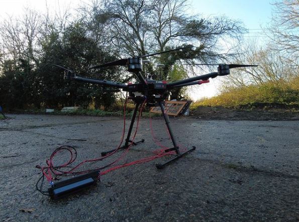
- Equipment weight in air: 1.8kg to 2.5kg depending on options
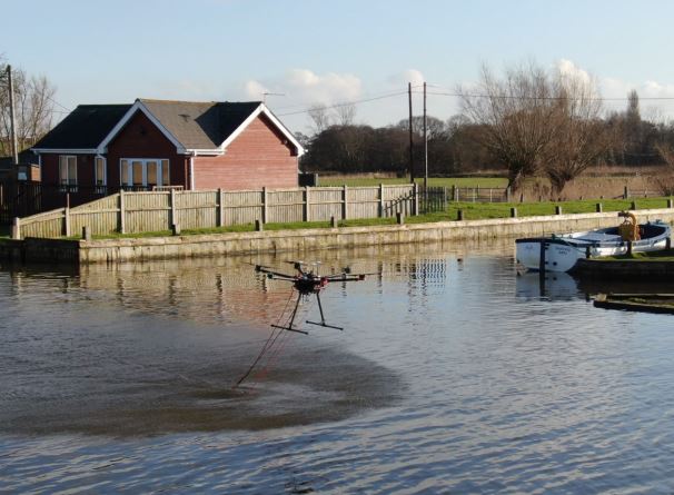
Swappable Sonar Options, with rapid swap-over on-site:
– Side Scan: Imagenex search& recovery 300kHz/850kHz
– Scanning Sonar: ImpactSubSea ISS360 sector scanner
– Other sonar options available, please enquire
• Supports HYPACK® Marine Search Software for UAVs:
– Position offset to Side scan (optional) via of ‘offset’ driver
– Real-time display of side scan targets
– Real-time analysis and location reporting
– Post search analysis and mapping
– Background: Electronic Navigation Charts or image maps.
Benefits
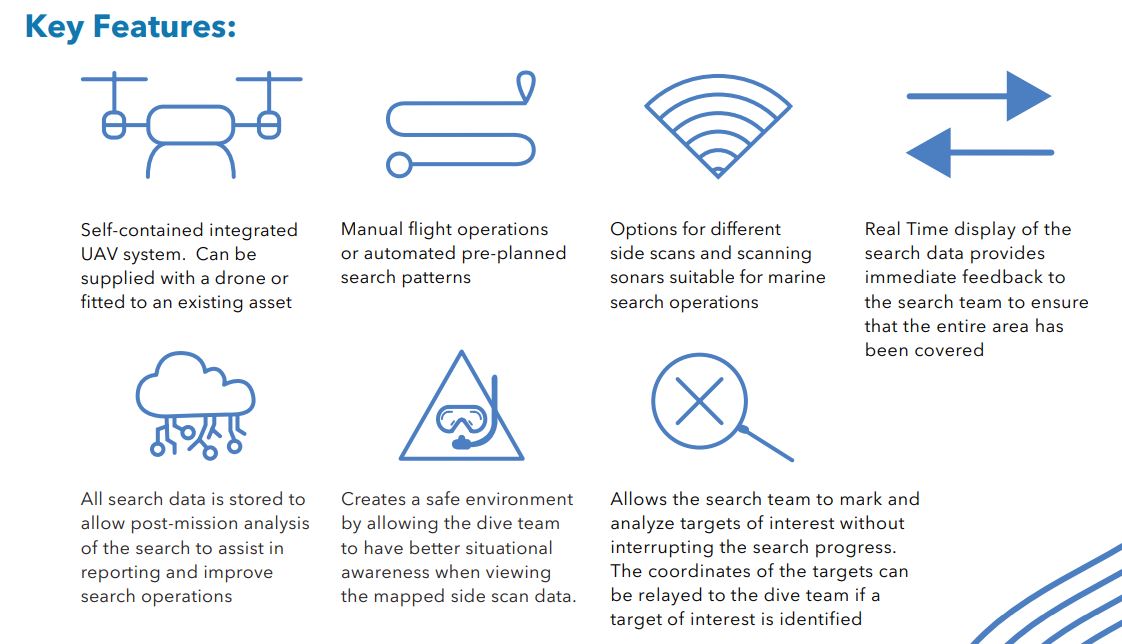
- Fast deployment from a safe site away from the water
- Manual search mode for rapid deployment at complex sites
- Autonomous map-based search patterns ensuring full coverage of larger areas
- Quick set up for survey operations
- Individualized incident projects
- Export data to GeoTiff and Bitmap
- images, easy to share and import for reports
- Real-time mosaicking of sonar data, overlaid on background charts
- Increases situational awareness and safety for divers
The Thurn QuickDip SideScan Sonar system is a breakthrough in UAV drone-based sonar search & inspection / recovery.
This sensor system is designed to support:
- Diver submerged infrastructure inspections
- Search and Recovery missions
- Scour (fluvial erosion) projects
- River Channel Assessments
- Debris and object detection
Inspections and can provide answers to questions previously only possible by deployment of a diving team. Therefore, the system has capability to save both time and cost.
Standard Solution Supply:
- QuickDip + SideScan Integration Kit
- SkyHub with TTF, UgCS Pro Software + 1 year support and update package
- Imagenex Side Scan Sonar Technology
- System Cables & Mounting Pack
- HYPACK Marine Search Software + 1 year support & update package
- Protective Carry Kit Cases
- System Training (4 Days)
Objects Identified by QuickDip

A drone is not included in this supply. Current supported drones are DJI M600Pro, M300RTK, and drones with Pixhawk + Ardupilot: Copter autopilots and the lifting capacity required (2.3kg).
See our LinkedIn Video here: Sonar Sensor
