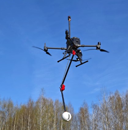
UgCS Drone Software - JBUAS Discount Code
SPH Engineering provide a number of invaluable software packages to enable safe, effective, and efficient flight missions. If you’re thinking of buying UgCS software to support your missions with or without a sensor, take advantage of our coupon code [JBPRMUGCS] to get a significant discount over online UgCS prices.
Drone GIS
Share 4D maps with clients and team
DroneGIS is exactly that, a GIS system developed for drone survey and inspections. This tool will revolutionise drone processing and reporting with the adoption of an AI engine.
- Scalable storage
- 2D/3D data viewer for orthomosaics (Geotiff), DEM (Geotiff), point cloud (LAS/LAZ), gridded data (Geotiff, CSV), images (JPG, PNG), 2D/3D designs (DXF), video (MP4/AVI)
- White labeling with users logo and corporate color of the software
- Annotations web-editor with export/import to/from GeoJSON/KML/Shape
- Unlimited number of registered users with group management and access control
- Public links to shareable data for clients
- Unlimited number of projects with progress tracking and timeline
- Support by email
A collection of data samples can be found here: DroneGIS Samples
Link to UgCS in a separate window

Image Inspector
Desktop software for Windows for documenting UAV-based visual inspections and generating DOCX and KMZ reports from images.
- Applicable for asset types: Roofs, Power poles/pylons, Wind turbines, Cell towers, Buildings, Bridges
- Annotate image regions with issues
- Assign severity from 1 to 5
- Comment and tag issues
- Filter images by tag and annotation presence
- Export DOCX report
- Export KMZ with camera positions and images
- No cloud access needed. Software works offline
Link to UgCS in a separate window
