UgCS Drone Software - JBUAS Discount Code
UgCS Integrated Systems provide a number of invaluable software packages to enable safe, effective, and efficient flight missions. If you’re thinking of buying UgCS software to support your missions with or without a sensor, take advantage of our coupon code [JBPRMUGCS] to get a significant discount over online UgCS prices.

UgCS Pro
World’s leading Ground Control Software for UAV Drones
Safe and efficient toolset for UAV land surveying and industrial inspections. LIDAR, Magnetometer, GPR, automatic Area, Photogrammetry, Corridor, Vertical, and SAR survey planning tools with custom elevation data import and terrain following mode.
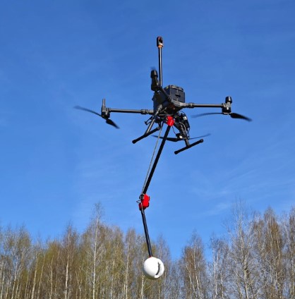
Supports most popular UAV platforms: UgCS DJI M600, M300, M200, Inspire, Phantom 4, Mavic and series, Parrot and Mavlink compatible Pixhawk/APM.
Link to UgCS in a separate window
UgCS Expert LIDAR Toolset
The UgCS LIDAR toolset unlocks the full potential of LIDARs enabling effective remote sensing without human error. Delivers everything that UgCS Pro delivers plus LIDAR capabilities.
- Save time on mission planning with flight patterns and turns designed specifically for LIDAR surveys
- Acquire high-quality laser data with preset IMU initialization patterns and anti-shake LIDAR turns
- High accuracy of acquired data ensures getting desired results with one trip to the field
Supports most popular LIDAR platforms: DJI, YellowScan, Riegl, PhoenixLIDAR, LIDAR USA, GeoCue, Rock Robotics, & GeoSun LIDAR
FREE Trial: Try before you buy with a 14 day free trial.
Link to UgCS in a separate window
UgCS Enterprise
Live Video Feed Features
All the features and benefits of UgCS Pro.
Benefit from a live video stream from UgCS for DJI to UgCS
(currently compatible only with Win & Android)
- Multiple SDK connections
- ADS-B Transponder
- Compatible with UgCS Mapper to perform live video mapping.
Link to UgCS in a separate window

UgCS Mapper
Create Maps offline with UAV Drone Photogrammetry
Mapper is a lightweight software tool for making 2D maps and elevation out of drone imagery and video – purely offline.
Increase surveying productivity – validate the quality of dataset – collected images are suitable for map stitching, before leaving the survey area.
Higher flight safety – create up to date 3D map and elevation data, i.e., when default map sources are not accurate enough for safe mission planning.
Link to UgCS in a separate window