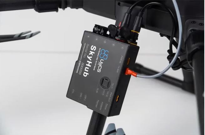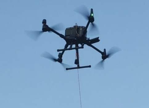


SENSYS MagDrone R3 (Utilising UgCS SkyHub & TTF System)
SENSYS MagDrone R3 is a Fluxgate UAV magnetometer system and, therefore, can detect magnetic metals and materials with high accuracy.
It is applicable to:
- Searching for UXO (unexploded ordnance)
- Locating buried infrastructure (metal pipes and shielded cables)
- Archaeology
- Surveying for any metal objects weighing a few hundred grams or heavier lying underground.
The R3 uses 2 sensors spaced 1 metre apart and provides a compact and stable solution for UAV drones, including the M300RTK.
Make an Enquiry

SENSYS MagDrone R4 (Utilising UgCS SkyHub & TTF System)
SENSYS MagDrone R4 is a Fluxgate UAV magnetometer system and therefore is able to detect any magnetic metals/materials. It is applicable to:
- Searching for UXO (unexploded ordnance)
- Locating buried infrastructure (metal pipes and shielded cables)
- Archaeology
- Surveying for any metal objects weighing a few hundred grams or heavier lying underground.
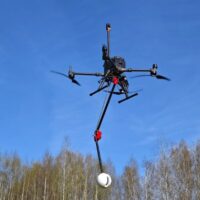
UgCS MagNIMBUS Magnetometer System
UAV magnetometer system powered by QuSpin Gen-2 sensors
A UAV vertical gradiometer system consisting of a self-foldable sensor mount enabling easy takeoff and landing.
Specifically built for the M350RTK and M400, working on confirming steel utility pipes and electrical cables. The system is designed so the sensor can be flown nominally at 20-50 cm above the ground, meaning smaller pipes and cables can be identified.
- Fly sensor low to ground with anti-snag design
- Fly without the need for a magnetic base station
- Simple to set up and go flying
- Locate items weighing hundreds of grams
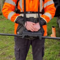
SENSYS MagWalk
Walked Sensor: Portable Double Triaxial Magnetometer
The MagWalk is an ultra-lightweight portable magnetometer survey kit to be carried by one person by holding it transversely, longitudinally or upright aside from the body.
The kit consists of two built-in 3-axis fluxgates, a 1-button data logger with an internal SD card, rechargeable batteries, an integrated or external GPS (RTK), and a serial live data output.
The MagDrone DataTool can be used to download and convert the raw data into various formats to make a follow-up processing with SENSYS MAGNETO, MATLAB, GIS or other software as easy as possible.
- For large buried archaeology, geology, and UXO clearance projects.
- 250Hz standard sampling rate
- All data processed in SENSYS DataTool (seemlessly fused with drone sensor data)
- Use Triaxial Fluxgate FGM3D sensors
- Can be walked in gradiometer mode
Make an Enquiry
Make an Enquiry about a Sensor Solution
If you would like more information, make an enquiry to discuss the most suitable sensor system for your application. Enquire via the below enquiry button.