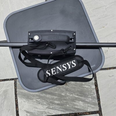





SPH MagNIMBUS Magnetometer
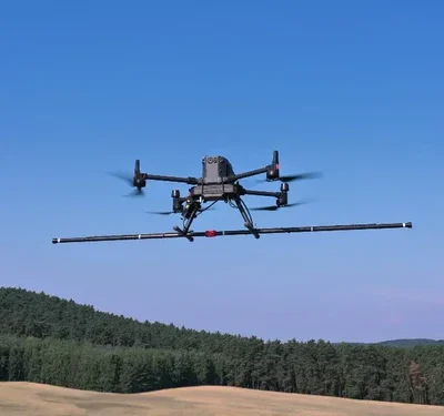
The MagNIMBUS is a high-sensitivity UAV magnetometer system built around QuSpin QTFM Gen-2 Atomic Total-Field Magnetometer sensors. The system is capable of delivering high-resolution magnetic anomaly detection for demanding field applications, including UXO clearance, buried infrastructure location, mineral exploration, archaeology, and environmental surveys.
Ultra-Low Altitude Performance
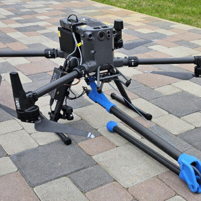
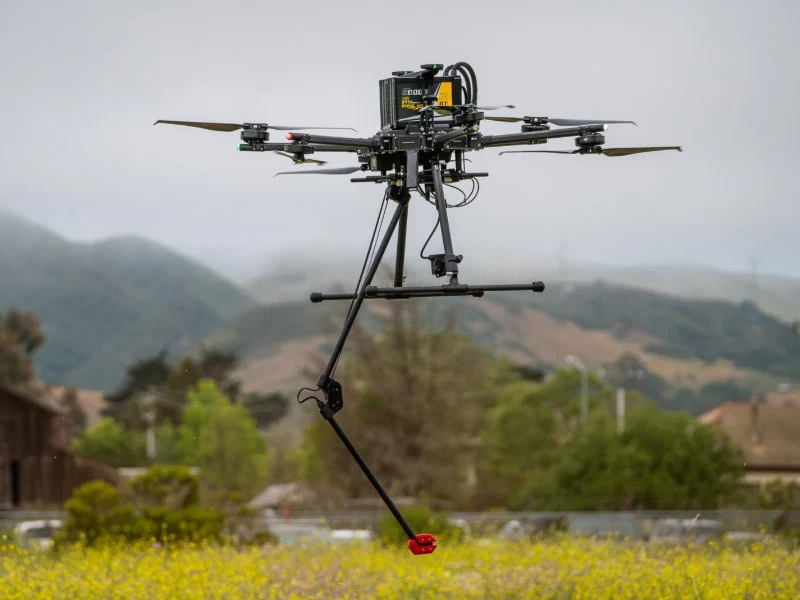
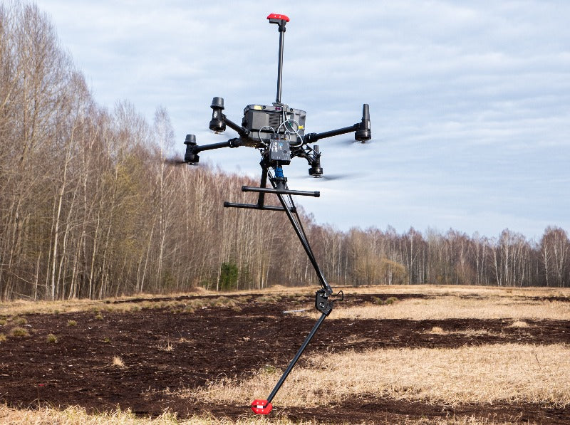
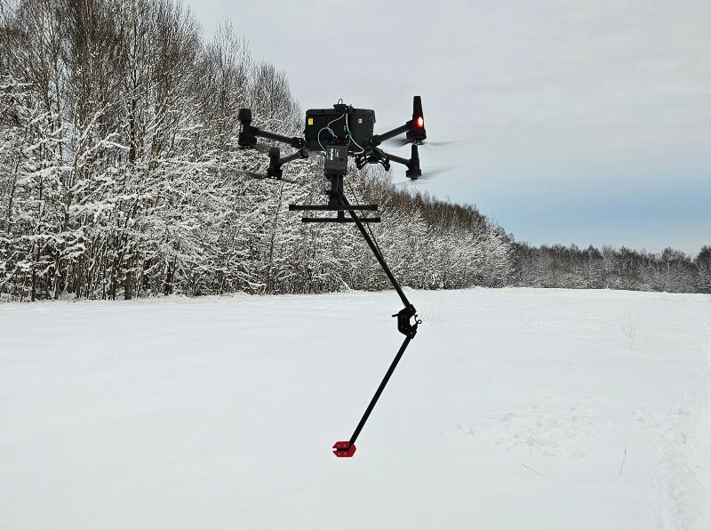
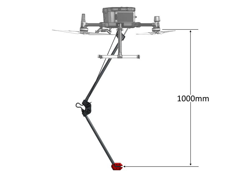
Engineered for very low surface-to-sensor clearance, the MagNIMBUS enables reliable detection of small metallic targets in complex terrain. A foldable, crash-tolerant mounting system allows safe contact with ground, rocks, or vegetation without compromising drone stability, making it ideal for overgrown or uneven environments.
Seamless DJI Integration
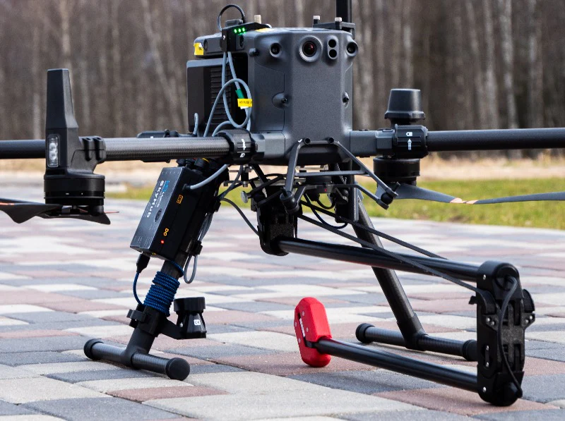
Fully integrated with DJI M400, M350 RTK and M300 RTK, the MagNIMBUS includes a SkyHub onboard computer for data logging and true-terrain-following autopilot control. This enables stable, repeatable flights at ultra-low altitudes for consistent, high-quality data capture.
Flexible Sensor Configurations
The MagNIMBUS is available in two configurations to suit operational requirements:
- Single-sensor configuration for lightweight, rapid deployment
- Vertical gradiometer configuration using two stacked QTFM sensors, delivering enhanced anomaly clarity, reduced ambient noise, and reliable operation near powerline EMI – without the need for a magnetic base station
Software Compatibility
Typically operated with UgCS Expert for autonomous mission planning and Geosoft Oasis montaj for advanced post-processing and interpretation.
Typical Applications
- UXO and landmine detection (metallic casings)
- Tramp metal and lost GET (ground-engaging tools) recovery
- Location of buried infrastructure (metal pipes and shielded cables)
- Environmental surveys for abandoned wells, pipelines, and storage tanks
- Geological and mineral prospecting
- Archaeological surveys
What’s Included
- MagNIMBUS Magnetometer System: foldable mount with built-in QuSpin Gen-2 magnetic field sensor
- Power Cable: XT30 connector for SkyHub integration
- USB Cable: For PC connection and data transfer
- GPS Interface Cable: Connects to SkyHub for positioning data
- Mounting Brackets: Compatible with DJI M400, M300 RTK and M350 RTK drones
- Hard Transport Case: 846 x 427 x 167 mm, ~6.9 kg
Key Technical Specifications
- Sensor designation: 1 – standard configuration; 2 – vertical gradiometer
- Sensor technology: laser-pumped rubidium atomic total-field magnetometer
- Sensitivity: very high
- Sampling Rate: user configurable up to 600 Hz in scalar mode
- Dynamic range: 1,000 to 150,000 nT
- Payload Weight: 0.7 kg standard configuration (1.2 kg gradiometer)
- Compatible UAVs: DJI M400, M30o RTK and M350 RTK
- Power Supply: SkyHub XT30 connector
- Size (L x W x H): folded 640 x 180 x 75 mm; unfolded 1100 x 310 x 75 mm