
Trusted UK Partner for UgCS, SkyHub and UAV‑Based Geophysical Survey Systems
JBUAS is the official UK partner for SPH Engineering, supporting organisations across surveying, geophysics, environmental monitoring and industrial inspection. We supply, integrate, and train teams on UgCS, SkyHub, and SPH Engineering’s full suite of UAV‑mounted sensors — including GPR, magnetometers, methane detection, bathymetry, and TTF radar for low‑altitude flight safety.
From procurement to deployment, JBUAS provides the UK’s most complete SPH engineering service offering.

Why UK Organisations Choose JBUAS for SPH Engineering Systems
Authorised UK supplier and integration partner
We provide direct access to SPH Engineering’s hardware and software ecosystem, ensuring UK clients receive correct configurations, compliant firmware, and fully supported deployments.
UK‑based technical expertise
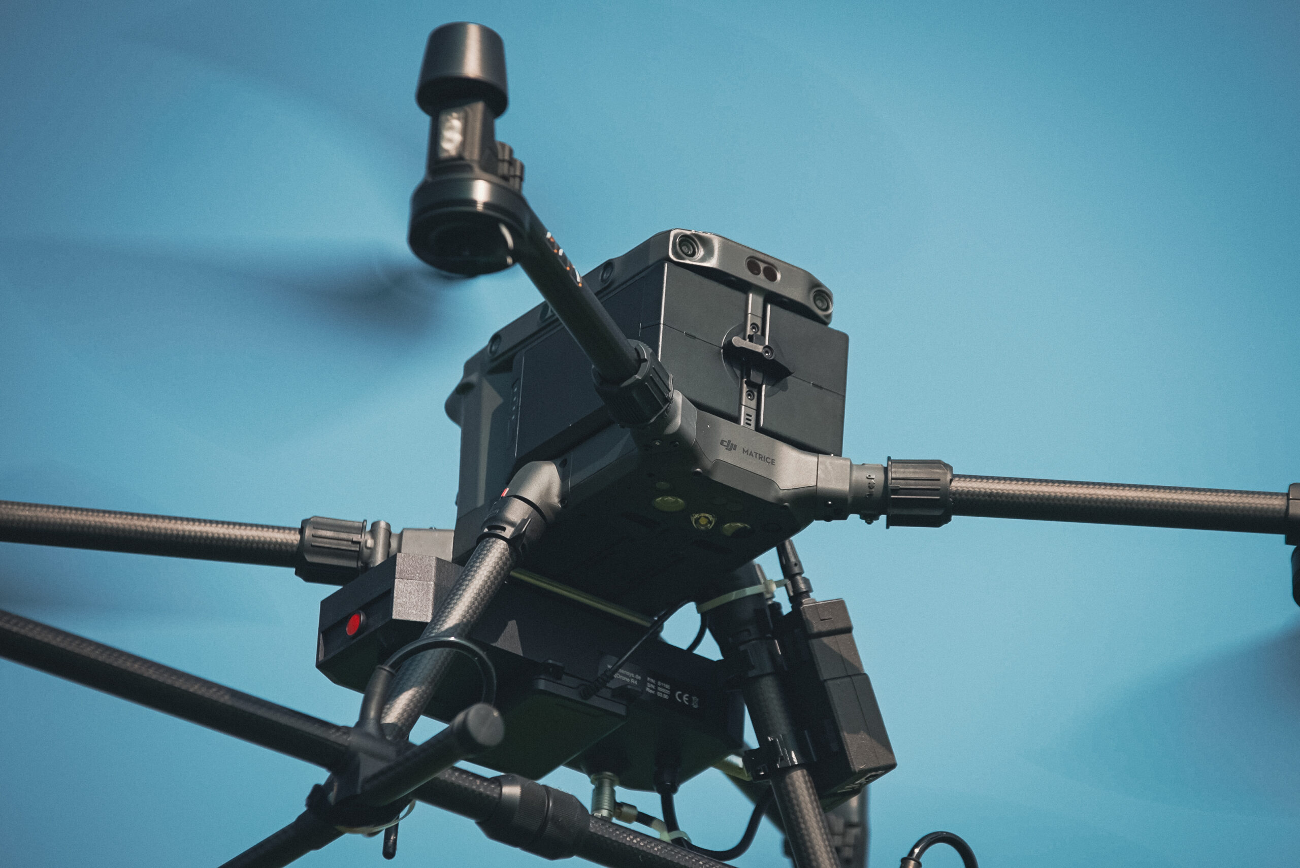
Our team specialises in UAV‑mounted geophysical sensors, flight planning, mission automation and data workflows. We support complex integrations across DJI platforms, including the Matrice 300 RTK and M350 RTK.
Hands‑on training and demonstrations
JBUAS operates the UK’s only dedicated UAV geophysical test site, enabling real‑world training with GPR, magnetometry, methane detection and radar systems.
End‑to‑end project support
We assist with:
- Mission planning in UgCS
- SkyHub configuration
- Sensor mounting and balancing
- Data acquisition workflows
- Post‑processing and interpretation
SPH Engineering Solutions Available Through JBUAS
UgCS — Universal Ground Control Software
UgCS is SPH Engineering’s flagship mission‑planning platform, enabling:
- Automated flight planning
- Terrain‑following missions
- Corridor mapping
- Geophysical survey patterns
- Multi‑sensor workflows
We provide licences, installation support and UK‑based training.
SkyHub — Advanced UAV Integration Controller
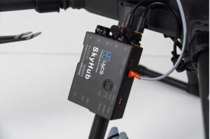
SkyHub enables real‑time control and synchronisation of onboard sensors.
JBUAS supports:
- SkyHub installation
- Sensor integration
- TTF radar configuration
- Custom workflows for GPR and magnetometry
UAV Ground Penetrating Radar (GPR)
SPH Engineering’s GPR solutions allow subsurface mapping from the air.
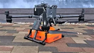
Applications include:
- Utility detection
- Archaeology
- Shallow geology
- Infrastructure inspection
We provide full GPR integration, flight planning and data‑handling support.
UAV Magnetometry
Magnetometers mounted on UAVs enable: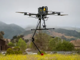
- UXO detection
- Geological mapping
- Infrastructure surveys
- Pipeline route assessment
JBUAS supports both single‑sensor and multi‑sensor configurations.
TTF Radar for Low‑Altitude Safety
Terrain‑following radar enables safe flight at low altitudes, even over uneven ground.
JBUAS configures TTF radar for:
- GPR missions
- Magnetometry
- Bathymetry
- High‑precision industrial inspections
Industries We Support
- Geophysical survey companies

- Environmental monitoring organisations
- Utility contractors
- Archaeology teams
- Defence and security
- Civil engineering
- Energy and pipeline operators
- Universities and research groups
Case Studies
Geophysical Surveying with UAV GPR
UK survey teams have reduced ground time by up to 70% using SPH Engineering GPR systems integrated by JBUAS.
Magnetometry for UXO Detection
Our UAV magnetometry workflows have supported safe clearance operations and improved detection accuracy in challenging terrain.
Methane Detection for Industrial Sites
Operators have deployed SPH Engineering methane sensors to monitor emissions and support regulatory compliance.
Training, Demonstrations and UK Support
JBUAS provides:
- On‑site training
- Remote technical support
- Full system commissioning
- Test‑site demonstrations
- Workflow optimisation sessions
We ensure every UK operator is confident, compliant and mission‑ready.
Frequently Asked Questions
Is JBUAS an official SPH Engineering partner?
Yes. JBUAS is the authorised UK partner for SPH Engineering, supporting procurement, integration and training.
Where can I buy SPH Engineering systems in the UK?
All SPH Engineering products — including UgCS, SkyHub, GPR, magnetometers and methane detection — are available directly through JBUAS.
Do you provide training for UgCS and SkyHub?
Yes. We offer UK‑based training, both on‑site and at our UAV geophysical test facility.
Which drones are compatible with SPH Engineering systems?
We support integrations with DJI Matrice platforms, including the M300 RTK and M350 RTK, plus custom airframes.
Can you help with data processing?
Yes. We provide workflow guidance and post‑processing support for GPR, magnetometry and methane detection datasets.