

Build a UAV Drone Geophysical Sensor System
Our sensor solutions come together following three main steps:
- The UAV Drone
- The Core System
- The Sensor Unit
If our customers don’t already have a drone, we support to provide the drone as part of our integration. See below to select your drone, the core system, and the type of sensor for your application. When you’re ready, get in touch.
DJI UAV & Payloads
DJI M400 UAV
The M400 comes with Lidar and Camera payloads that are complimentary to geophysical sensor surveys
Core System
Core System
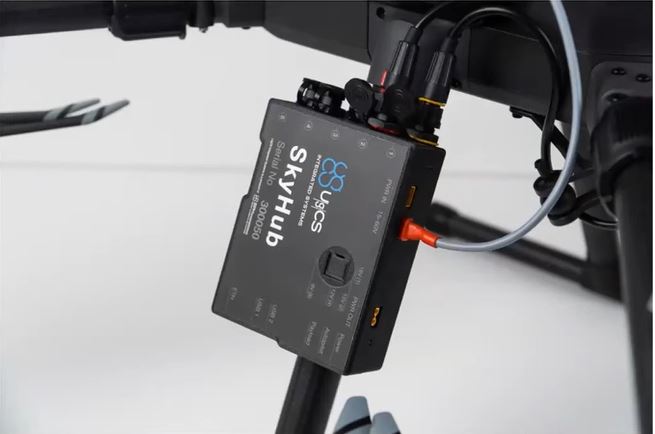
The core system enables geophysical sensors to be flown very low to the ground in a safe and controlled manner
Magnetometers
Magnetometers
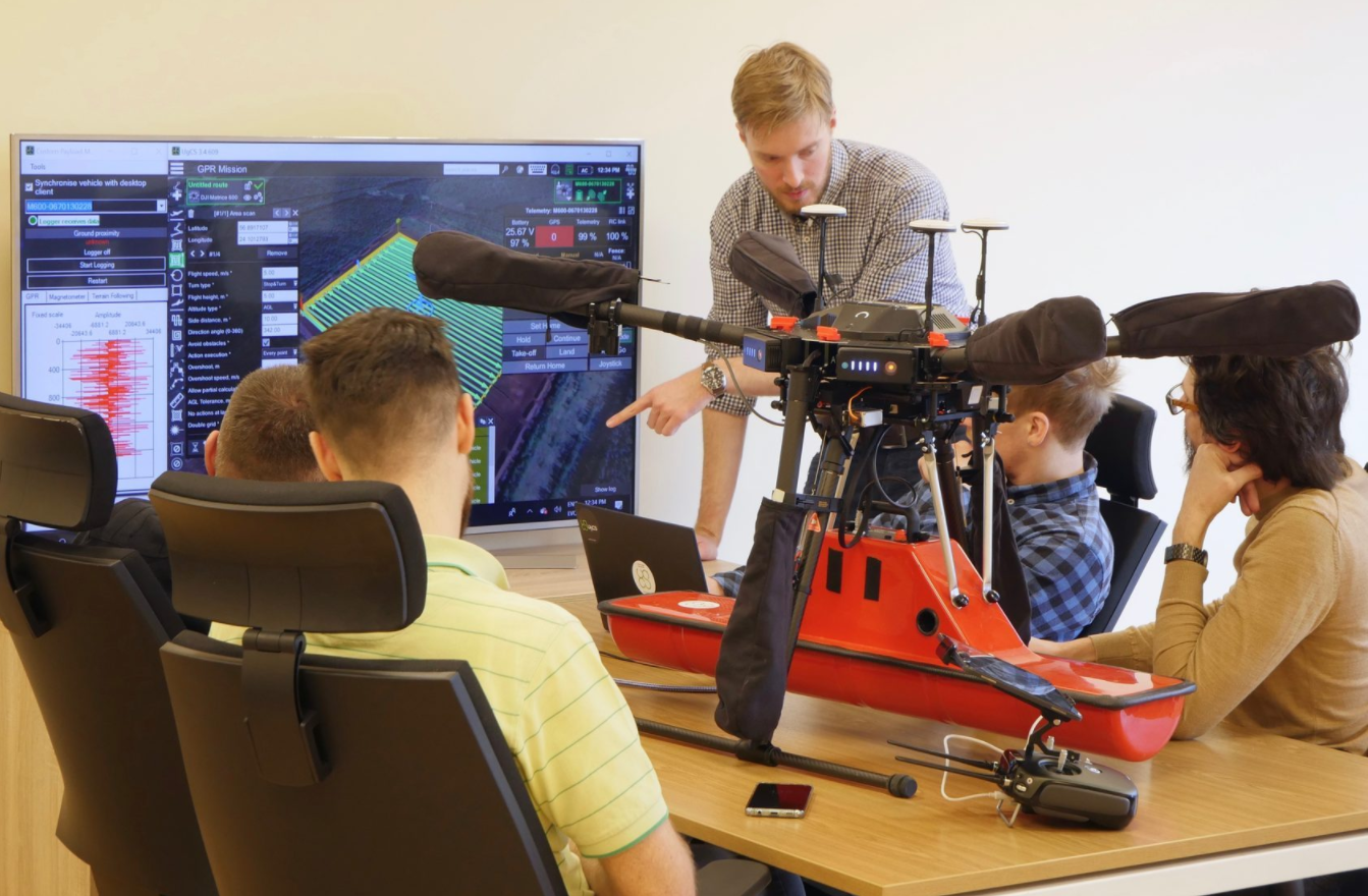
For UXO clearance, buried utilities surveying, mining, and Archaeology applications.
Ground Penetrating Radar
Ground Penetrating Radar
For soil/sediment analysis, utility detection, cavity location, peat depth indications, Archaeology, & Bathymetry
EM/FDEM Sensors
EM/FDEM Sensors
For Geology, Geomorphology, UXO clearance, utility detection, and metal object location.
Methane
Water
Water
For flood prevention, water management, bathymetry, and submerged infrastructure inspection.
Gamma-Ray Mappers
Gamma-Ray Mappers
Geology & Mineral Exploration, Mapping Sediment, Contamination of Soil and Sediment, & Soil Texture analysis