

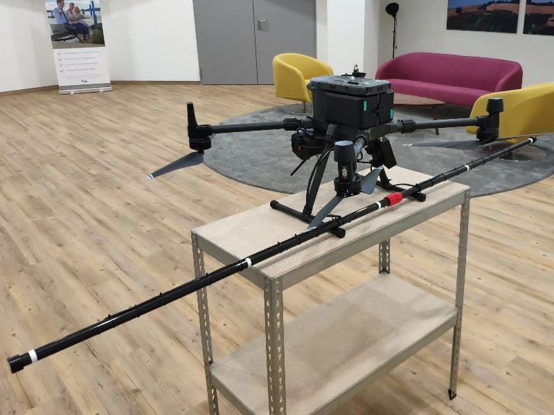



SENSYS MagDrone R4

SENSYS MagDrone R4

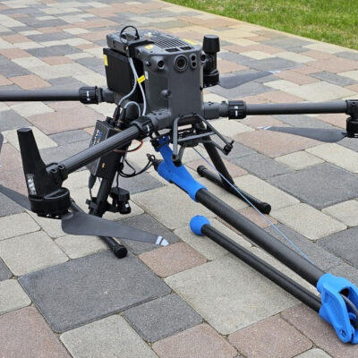
  • An ultra-light UAV magnetometer with five triaxial fluxgate sensors, designed for high-precision subsurface magnetic mapping
  • Capable of detecting small ferrous objects and UXO with centimetre-level accuracy perfect for archaeology and specialist survey work.
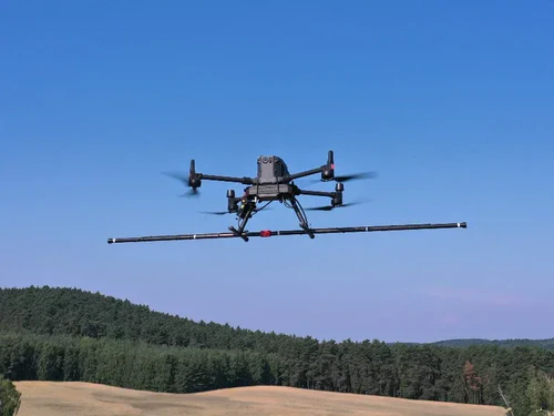
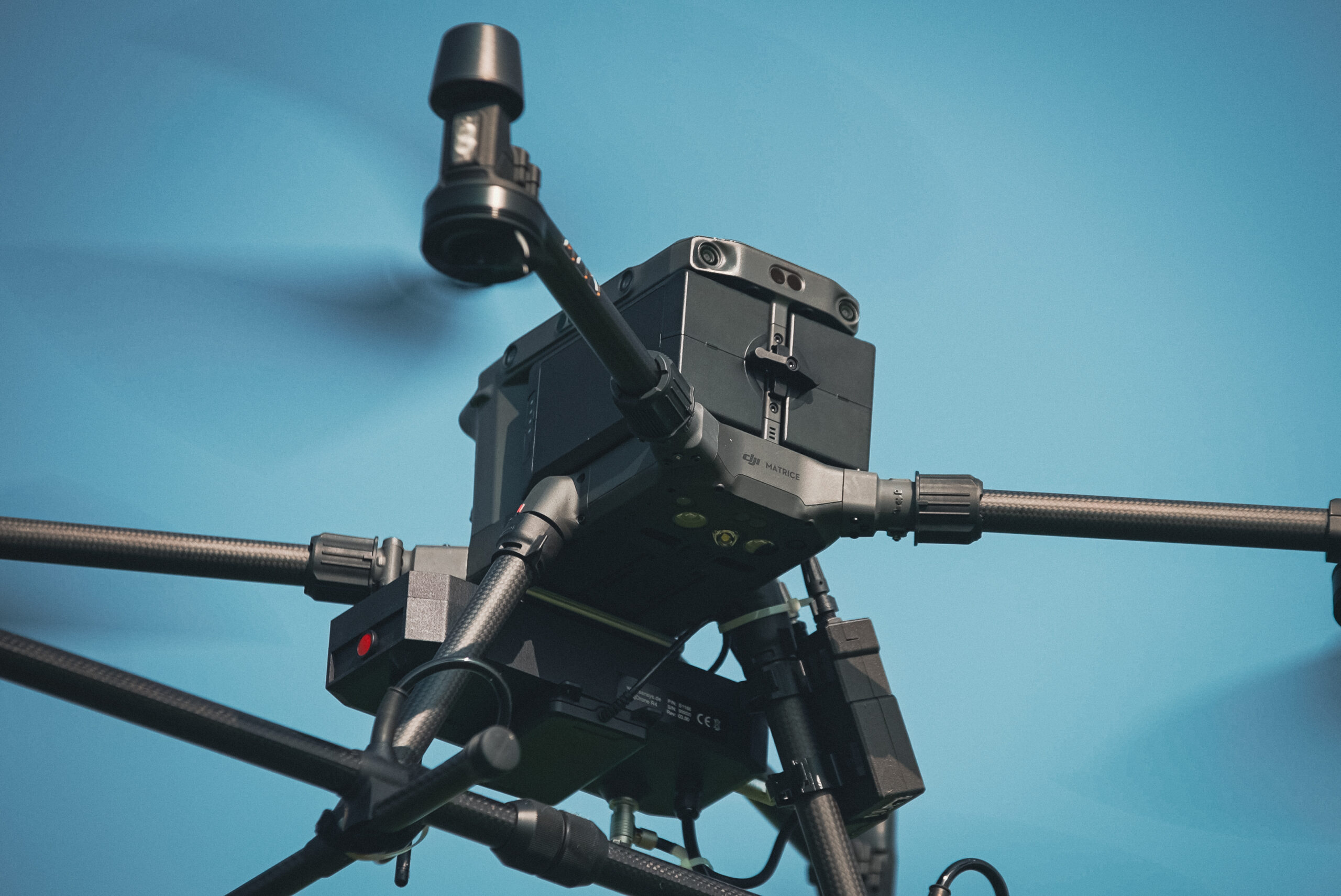
  • Fully compatible with DJI M300 RTK and M350 RTK drones, enabling accurate low-altitude, terrain-hugging flight operations.

Enquiry

SENSYS MagDrone R4

Ultra-Light UAV Magnetometer for High-Resolution Subsurface Detection

The SENSYS MagDrone R4 is a high-performance, ultra-lightweight UAV-mounted magnetometer designed for precise magnetic field mapping and reliable detection of underground metallic anomalies. Featuring five triaxial fluxgate sensors, the system captures exceptionally detailed magnetic data—making it an ideal solution for UXO detection, archaeological surveys, and infrastructure mapping.

Purpose-built for drone operations, the MagDrone R4 integrates seamlessly with DJI M300 RTK and M350 RTK platforms. Its lightweight, rugged design enables safe, stable survey flights at just 1 metre above ground level, allowing operators to resolve fine-scale subsurface variations that heavier systems may miss. This low-altitude capability is critical when locating small ferrous targets, such as hand grenades, buried metallic artefacts, or utilities.

Delivered as a ready-to-deploy complete system, the MagDrone R4 includes all required mounting hardware, cables, and software. When paired with MagDrone Data Tool, users benefit from efficient post-flight processing, intuitive magnetic anomaly visualisation, and streamlined data workflows—reducing time from survey to actionable results.

What’s Included

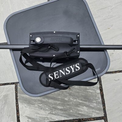
  • MagDrone R4 Magnetometer System: Five triaxial fluxgate sensors, sensor bar, and data recorder
  • MagDrone Data Tool Software: For post-processing and magnetic field visualisation
  • Power Cable: XT30 connector for SkyHub
  • USB Cable: For PC connection
  • GPS Interface Cable: Connects to SkyHub for positioning data
  • Mounting Brackets: Compatible with DJI M300 RTK and M350 RTK drones
  • Hard Transport Case: For protection, transport, and field durability

Key Technical Specifications

  • Sensor Array: Five triaxial fluxgate sensors
  • Resolution: 0.2 nT
  • Sensitivity: < 0.15 nT RMS
  • Sampling Rate: 200 Hz per channel
  • Payload Weight: ~2 kg (12 kg including transport case)
  • Compatible UAVs: DJI M300 RTK and M350 RTK
  • Power Supply: SkyHub XT30 connector
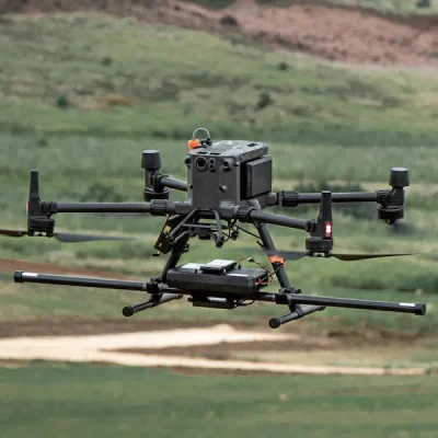
  • High-Resolution Magnetic Mapping: Five triaxial fluxgate sensors capture fine-scale magnetic variations, delivering clear results for UXO detection, archaeology, and infrastructure surveys.
  • Seamless UAV Integration: Designed for rapid mounting on DJI M300 RTK and M350 RTK drones, with full power and data connectivity via SkyHub.
  • Lightweight & Field-Ready: Compact 2 kg payload with a foldable sensor bar, rugged transport case, and fast, straightforward setup in the field.
  • Accurate & Versatile Detection: Capable of locating metallic targets from approximately 0.5 m (small ferrous objects) to several metres for larger targets, depending on size and magnetic signature.

The MagDrone R4 is a five-sensor fluxgate magnetometer designed specifically for drone-based magnetic surveying. It provides a wider survey pass and higher spatial resolution than the two-sensor MagDrone R3.

JBUAS offers reliable domestic and international shipping through DHL. All deliveries are fully tracked and insured to ensure peace of mind from dispatch to arrival.

UK Delivery

  • In-stock items: Delivered within 2–3 working days
  • Next Day Delivery: Available to many UK mainland addresses
  • Non-stock items: Delivered within 4–5 weeks

International Delivery

As a proud member of the Chartered Institute of Export & International Trade, JBUAS is a trusted supplier of drones and sensors to global markets. International orders are fulfilled via DHL, with delivery available across Europe and worldwide to business customers.

UgCS sensors are capable of being employed across a variety of sectors:

Waste (landfill) and Water Treatment

Water and Flood Management

Construction

Power and Energy

Archaeology

Mining and Quarrying

Top