

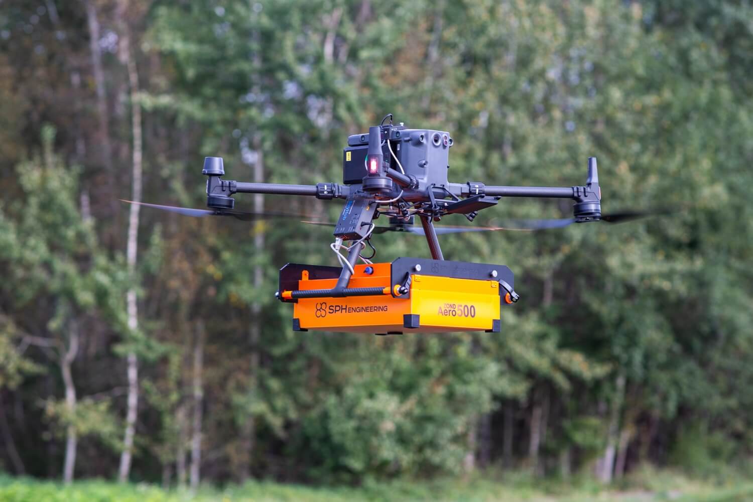
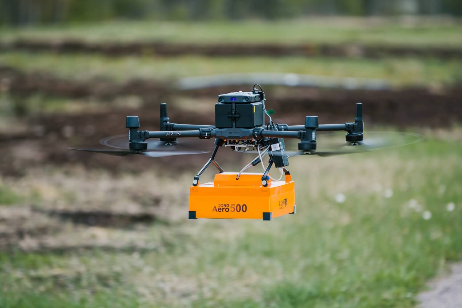
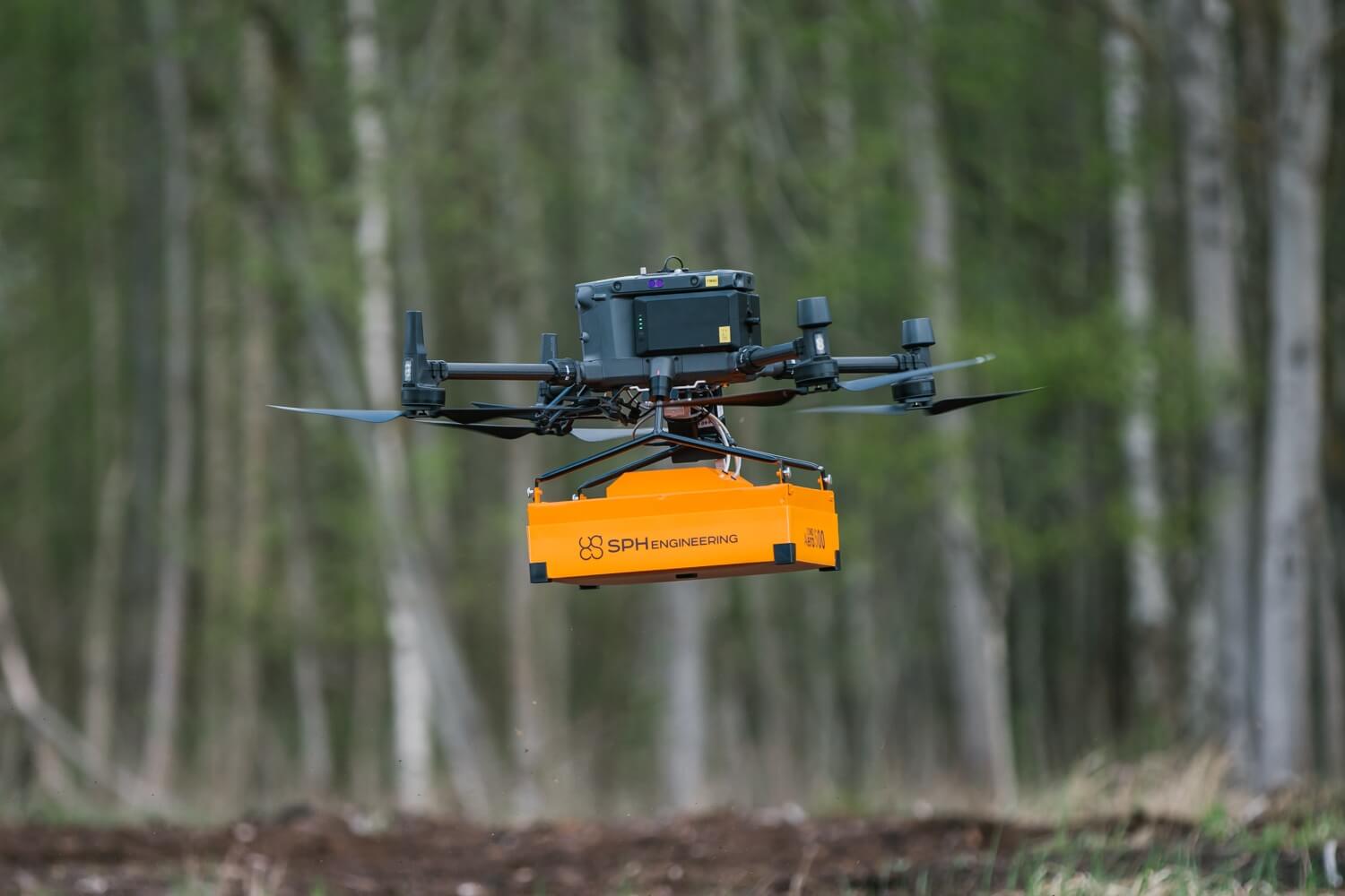
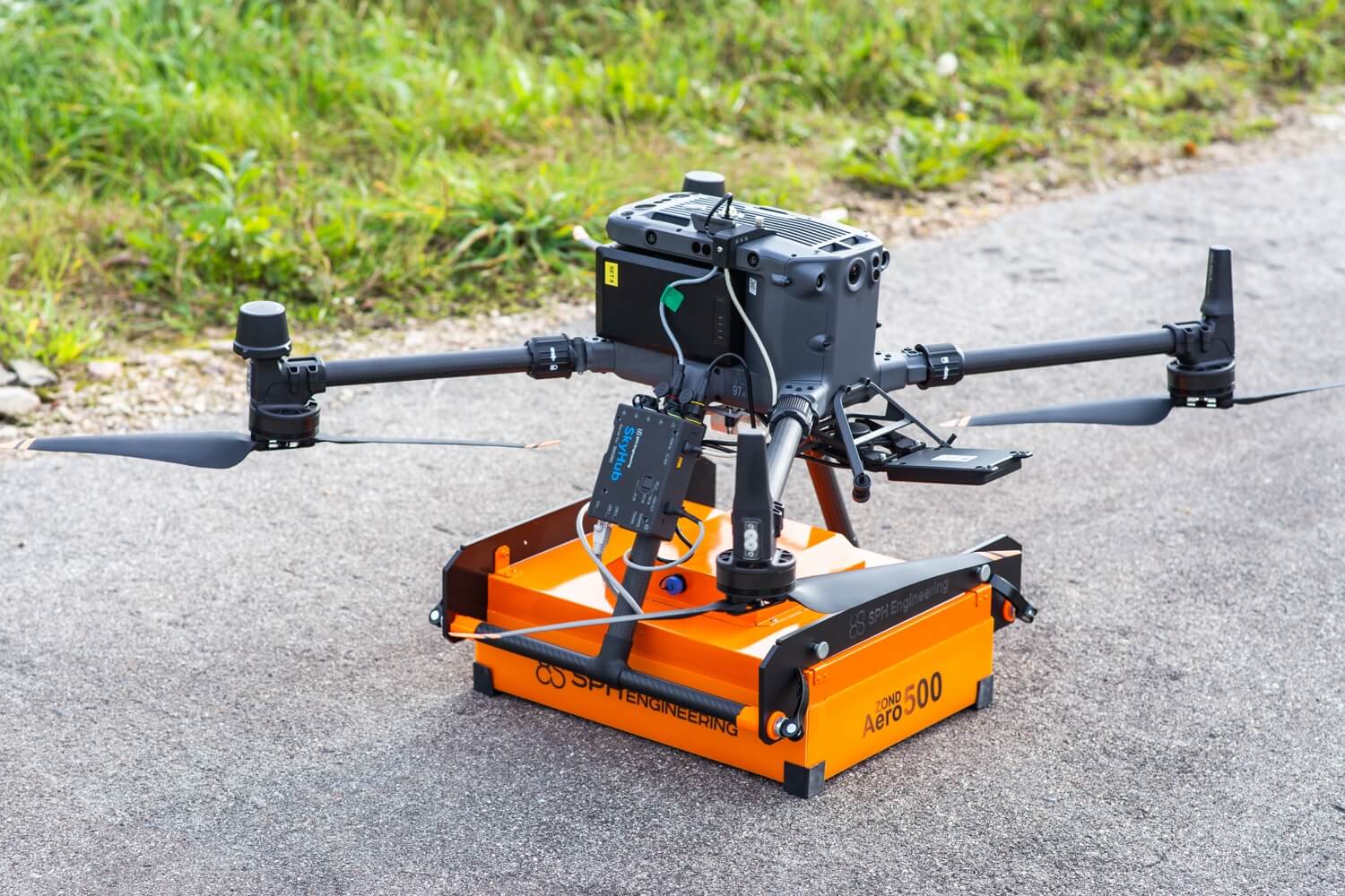




Zond Aero 500 NG (Drone GPR)

Zond Aero 500 NG (Drone GPR)

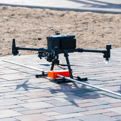
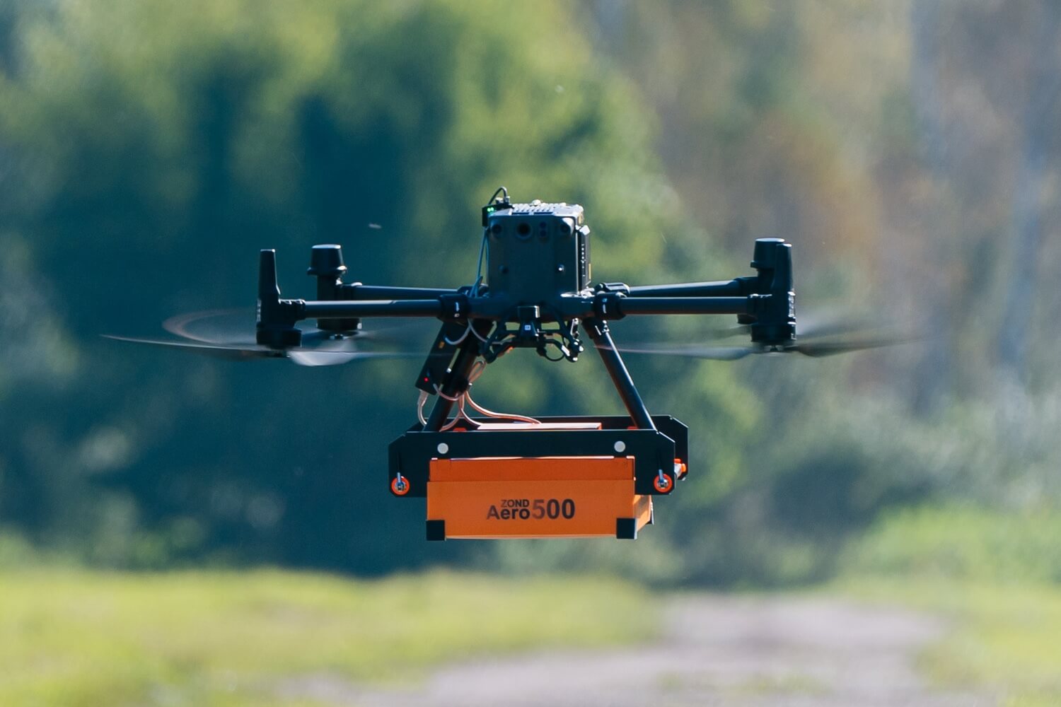
  • The Zond Aero 500 NG is a lightweight UAV-compatible Ground Penetrating Radar (GPR) system designed for high-resolution subsurface investigations.
  • A central frequency of 500 MHz provides an ideal balance between penetration depth and target resolution for utility detection, archaeology, engineering, and environmental surveys.
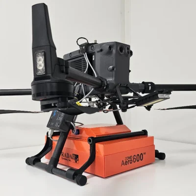
  • Fully compatible with DJI M300 RTK and M350 RTK platforms when integrated with the UgCS SkyHub system for precise georeferenced airborne surveys.

Enquiry

Zond Aero 500 NG (500MHz)

Professional Airborne and Ground-Based Ground Penetrating Radar for Subsurface Mapping

The RadSys Zond Aero 500 MHz Ground Penetrating Radar System is a versatile, lightweight GPR solution developed for both UAV-based and terrestrial geophysical surveys. Designed to provide high-quality subsurface imaging, the system enables operators to locate buried utilities, map archaeological features, identify voids, investigate infrastructure, and perform detailed environmental assessments without ground disturbance.

Utilising advanced Real-Time Sampling (RTS) technology and integrated digital signal processing, the Aero system delivers exceptional signal-to-noise performance and reliable data acquisition. In the 500 MHz configuration, get better depth penetration, whilst the 1000 MHz system delivers enhanced target resolution for shallow investigations (see the 1000 MHz product page).

Designed specifically for drone deployment, the Aero system integrates seamlessly with DJI M400, M300 RTK and M350 RTK aircraft via UgCS SkyHub. The system automatically records RTK-positioned survey data, enabling highly accurate and repeatable flight missions. In addition to airborne operations, the Aero system can also be deployed on a survey cart or towed across challenging terrain, providing flexibility for a wide range of survey environments.

The combination of lightweight construction, rapid deployment, and professional-grade data quality makes the Aero 500 MHz an ideal solution for surveyors, geophysicists, engineers, archaeologists, and infrastructure specialists seeking efficient subsurface intelligence over large areas.

What’s Included

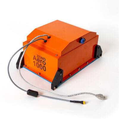
  • Aero 500 NG (500 MHz) GPR Antenna System
  • Integrated Data Acquisition Electronics
  • DJI M300 RTK and M350 RTK Mounting Kit
  • UgCS SkyHub Integration Interface
  • Power Supply and Connection Cables
  • Data Acquisition Software
  • Transport and Storage Case
  • User Documentation and Setup Guides

Key Technical Specifications (500 MHz system)

  • Centre Frequency: 500MHz
  • Operating Bandwidth: 200-900 MHz
  • Penetration Depth: Up to 4 metres (soil dependent)
  • Samples per Trace: 512
  • Sample Rate: 25,600 samples per second
  • Scan Rate: 50 scans per second
  • Data Output: 16-bit digital raw data
  • Data Format: SEGY Geophysical Format with geotagging
  • Technology: Real-Time Sampling (RTS)
  • Antenna Type: Shielded Single-Channel GPR
  • Survey Modes: UAV, Cart-Mounted, Tow-Behind
  • Compatible UAV Platforms: DJI M300 RTK, M350 RTK, and other supported UAVs
  • Positioning: RTK GPS via UgCS SkyHub
  • Operating Temperature: -20°C to +60°C

Zond Aero 500 NG

  • High-Resolution Subsurface Imaging: Advanced real-time sampling technology combined with digital signal processing delivers clear radar profiles with excellent signal-to-noise performance, enabling reliable identification of buried objects and subsurface structures.
  • Choice of Survey Frequency: The 500 MHz system offers a 200 MHz-1300 MHz frequency spectrum to deliver increased penetration depth for deeper investigations while at the same time providing for shallow utility mapping and detailed engineering surveys.
  • UAV-Optimised Design: Specifically engineered for drone deployment, the Aero system integrates directly with M300 RTK and M350 RTK platforms, providing efficient aerial coverage and highly repeatable survey workflows.
  • Multi-Platform Operation: The system can be deployed from a UAV, mounted on a survey cart, or operated as a tow-behind unit, providing flexibility across varying terrain and project requirements
  • Precision Georeferencing: Integration with UgCS SkyHub enables RTK-level positioning, ensuring accurate spatial registration of all radar traces and supporting professional mapping deliverables.
  • Rapid Deployment and Efficient Data Collection: Lightweight construction and streamlined integration minimise setup time, allowing survey teams to cover larger areas faster than traditional ground-based methods.

Typical applications include: Utility and cable detection Underground infrastructure mapping Archaeological surveys Geotechnical investigations Geological surveys Sinkhole and void investigation Snow and ice thickness profiling UAV-based subsurface surveys

JBUAS offers reliable domestic and international shipping through DHL. All deliveries are fully tracked and insured to ensure peace of mind from dispatch to arrival.

UK Delivery

  • In‑stock items: Delivered within 2-3 working days
  • Next Day Delivery: Available to many UK mainland addresses
  • Non‑stock items: Delivered within 4-5 weeks

International Delivery

As a proud member of the Chartered Institute of Export & International Trade, JBUAS is a trusted supplier of drones and sensors to global markets. International orders are fulfilled via DHL, with delivery available across Europe and worldwide to business customers.

UgCS sensors such as the Zond Aero 500 NG GPR are capable of being employed across a variety of sectors:

Waste (landfill) and Water Treatment

Water and Flood Management

Construction

Power and Energy

Archaeology

Mining and Quarrying

Top