

Partner Project Support – The Stopgap Solution
JBUAS as an integration partner prefer not to fly survey work ourselves. However, it is important to give orgnisations an alternative option to purchasing a sensor solution. That’s why, if your business is not quite ready to purchase a sensor system, we can provide you with a way of winning that project work through our Partner Support Programme.
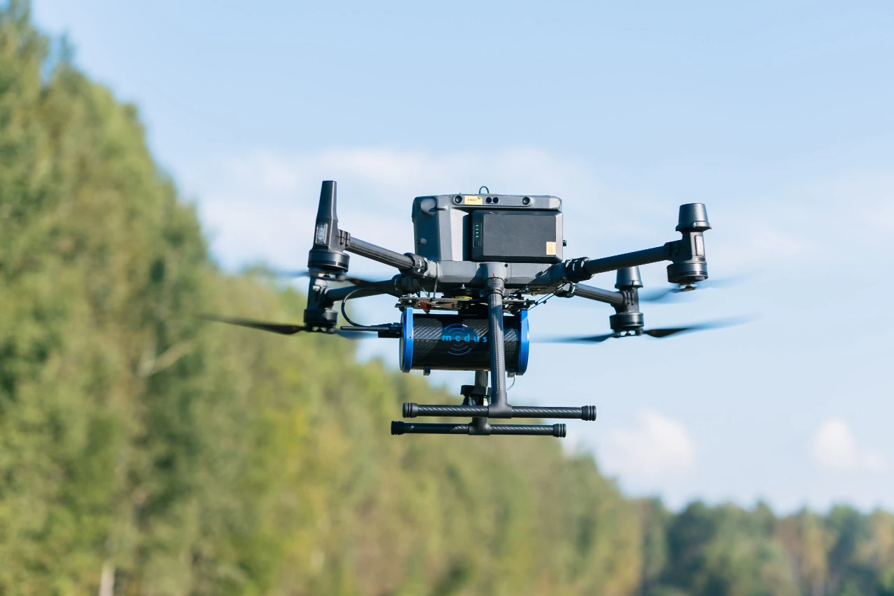
Introducing the JBUAS Partner Support Programme: JBUAS can source a known specialist partner that will provide the certified pilot, competent observer, the drone platform, the geophysical sensor, and the UgCS core equipment (SkyHub & TTF), to fly your sensor survey. We do believe it important to reward our customers who placed trust in us when they purchased specialist equipment and training from JBUAS.
Our partners provide a high quality service:
- Mission Planning
- Flying of Mission
- Data Handover
- Processing (JBUAS also has access to SPH Engineering’s new processing lab providing a totally independant service)
Quality Assurance
Where available (depending on the sensor requirement), our specialist partners can look to provide both interpretation & validation, and even the reporting of the results. They are also able to provide a comprehensive service providing the appropriate assurances for customers across all major sectors. All of our partners have been assessed and work in-line with our strict internal safety, operational, and quality policies. They provide:
- Insurances
- Risk Assessments and Method Statements (RAMS)
- CCA approvals
- Specialist certs according to sector
Experience & Expertise – Guaranteed
The types of sensor surveys we can support is dependant on having the right partners onboard who have the right UgCS equipment and the experience to match. Our partners are companies that have bought our equipment and who are using it in their day-to-day operations. These partnerships are our way of supporting our customers and repaying the trust they placed in JBUAS when they bought the equipment. One thing is for cerain, we trained them – we know them.
We provide support and have case examples to support customers to fly the following UK based surveys:
- Ground Penetrating Radar (Archaeology, Utility Detection, geophysics, Archaeology)
- Methane Mapping (Oil and Gas, Water Treatment, Landfill sites, bioenergy generation sites)
- Magnetometer Surveys (Archaeology, Utilities Mapping, UXO Clearance, Mineral Investigations)
- Echosounder Sonar (Bathymetry, Silt Thickness indications, Scour studies, Lidar support)
- Gamma-Ray Detectors (Heavy Metals, peat thickness, archaeology, sediment analysis, radon mapping)
Photogrammetry and Lidar Missions
To support your geophysical payload surveys, be assured that all our partners are experts in flying photogrammetry and Lidar missions. They also have their own (in-house) processing capability and do not use any cloud-based processing; this is a requirement for being on the programme. Our partners provide excellent outputs and reports using technologies such as the Zenmuse L2 Lidar, Hovermap Lidar (a ground and drone-based system), and the impressive Zenmuse P1 Camera.
All of the above lidar and camera technologies support our customers with the GIS underlays for presenting your geophysical data.
Supporting UK, EU and Global Projects
Several of our partners engage in surveys outside the UK. So, if you have a requirement outside the UK and you need a dependable partner with independant thinking, get in touch for an application review.
For further information, please get in touch.
Enquire for Project Support
If we can be of any assitance, please fill in the form below and we will get back to you within 24hrs to discuss your requirement.