

JBUAS Open Days 2026 Showcase the Expanding Role of Drone Sensor Technology
JBUAS Open Days 2026 demonstrated how advanced drone sensors are transforming geophysical surveying, environmental monitoring, archaeology, construction and other specialist applications.
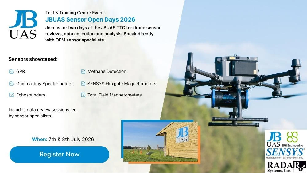
JB Unmanned Aerial Systems (JBUAS) welcomed industry professionals, technology specialists and drone operators to its 2026 Open Days on 7–8 July. The event brought together leading experts in unmanned aerial systems (UAS), geophysical sensors, data processing and drone operations. JBUAS hosted the event at its Test & Trial Centre (TTC) near Peterborough. The two-day event combined technical presentations, live drone demonstrations and data-review sessions. Across these platforms, JBUAS showed how operators can use UAV technology to collect increasingly sophisticated information from the air.
The event highlighted a significant shift in the role of drones. Rather than simply providing an aerial platform for conventional cameras, modern UAS can carry specialist sensors that survey teams traditionally deploy from people, vehicles and boats.
From drones to data collection platforms
One of the key themes of the JBUAS Open Days was the growing range of sensors that can be integrated with drones.
The programme featured demonstrations and presentations covering:
- UAV magnetometers and gradiometers
- Ground penetrating radar (GPR)
- Gamma-ray spectrometers
- Electromagnetic (EM) sensing
- Methane and other gas detection
- Echo sounders and multibeam sonar
- Sidescan sonar
- Water sampling technology
The demonstrations included SENSYS R1 and R4 magnetometer systems, MagNIMBUS, the MagWalk system and MagBase. In addition, hydrographic sensors, including the ECT400S EchoSounder and water samplers were discussed. On the second day, visitors saw live demonstrations of Falcon laser methane detection, GEM 2 EM sensing, gamma-ray spectrometry and Aero 500/600 MHz GPR. This breadth of technology demonstrates how UAVs are increasingly becoming flexible data-collection platforms. Drone technology is capable of supporting specialist investigations across a wide range of environments.
Advanced sensors for real-world applications
Survey teams have deployed many of the sensor technologies demonstrated at the JBUAS Open Days manually for decades. The important development is how integrating these sensors with UAV platforms can change the way surveyors collect data. Magnetometers, for example, have a long history in geological and mineral exploration. At the JBUAS Open Days, visitors saw how modern drone-mounted magnetometers can be deployed for airborne geophysical surveying. This approach can provide an alternative to conventional ground-based survey methods, particularly where terrain, vegetation, water or access makes traditional surveying difficult.
Potential applications include:
- Mineral exploration and geological mapping
- Archaeological investigation
- UXO and buried-object detection
- Construction and infrastructure surveys
- Pipeline and utility investigations
- Methane and gas monitoring
- Soil and environmental mapping
- Bathymetric and riverbed surveys
- Pollution and legacy mining investigations
The event’s programme also demonstrated the growing importance of data processing alongside sensor hardware, with dedicated sessions examining magnetometer, GPR, gamma-ray, EM and hydrographic datasets.
Drone magnetometry takes centre stage
JBUAS showcased drone-based magnetometry as one of the event’s key technologies.
The Open Days included live demonstrations of SENSYS magnetometer technology and the SPH MagNIMBUS system, giving visitors the opportunity to see how operators can carry out airborne magnetic surveying using UAV platforms. The technology is particularly relevant to applications where teams need to survey large areas efficiently or where ground access is difficult. A recent Mining Magazine feature from the event also highlighted the evolution of magnetometers from instruments traditionally used by geologists to airborne systems integrated with modern UAV platforms. GPR, gamma-ray and gas detection from the air. The Open Days also demonstrated how drones are extending the reach of other specialist sensing technologies.
Speakers included JBUAS Director Jonathan Brindley, ERCS International Director Ed Rich, SENSYS project engineer Markus Schikorra, SPH Engineering Partnership Director Janis Janums, Skyworthy founder Martin Johnson, Radar Systems’ Sergey Zelenkov and Medusa Radiometrics representatives Steven van der Veek and Carola Kolkena.
The event also provided an opportunity for attendees to discuss practical applications, operational challenges and the future direction of drone-based sensing.
The future of drone-based surveying
The JBUAS Open Days 2026 demonstrated how quickly UAV technology is developing beyond conventional aerial imaging.
The combination of increasingly capable sensors, autonomous flight planning, advanced data processing and specialist UAV platforms is opening up new possibilities for geophysical and environmental surveying. From detecting buried objects and mapping geological features to monitoring gases, surveying waterways and investigating archaeological sites, drones are becoming an increasingly versatile tool for collecting information from challenging environments.
For JBUAS, the Open Days provided an opportunity to demonstrate this technology in practical, real-world applications and to bring together the organisations developing, supplying and using the next generation of drone-based survey systems. As the technology continues to develop, the future of UAS surveying is likely to be defined not simply by how drones fly, but by the quality and variety of data they can collect. JBUAS would like to thank all speakers, partners, visitors and attendees who contributed to the success of the 2026 Open Days.
About JBUAS
JB Unmanned Aerial Systems (JBUAS) specialises in the integration of advanced sensors with unmanned aerial systems. Working closely with technology partners including SPH Engineering, SENSYS, Radar Systems and Medusa Radiometrics, JBUAS provides drone-based solutions for geophysical surveying, environmental monitoring, archaeology, hydrography and other specialist applications.