

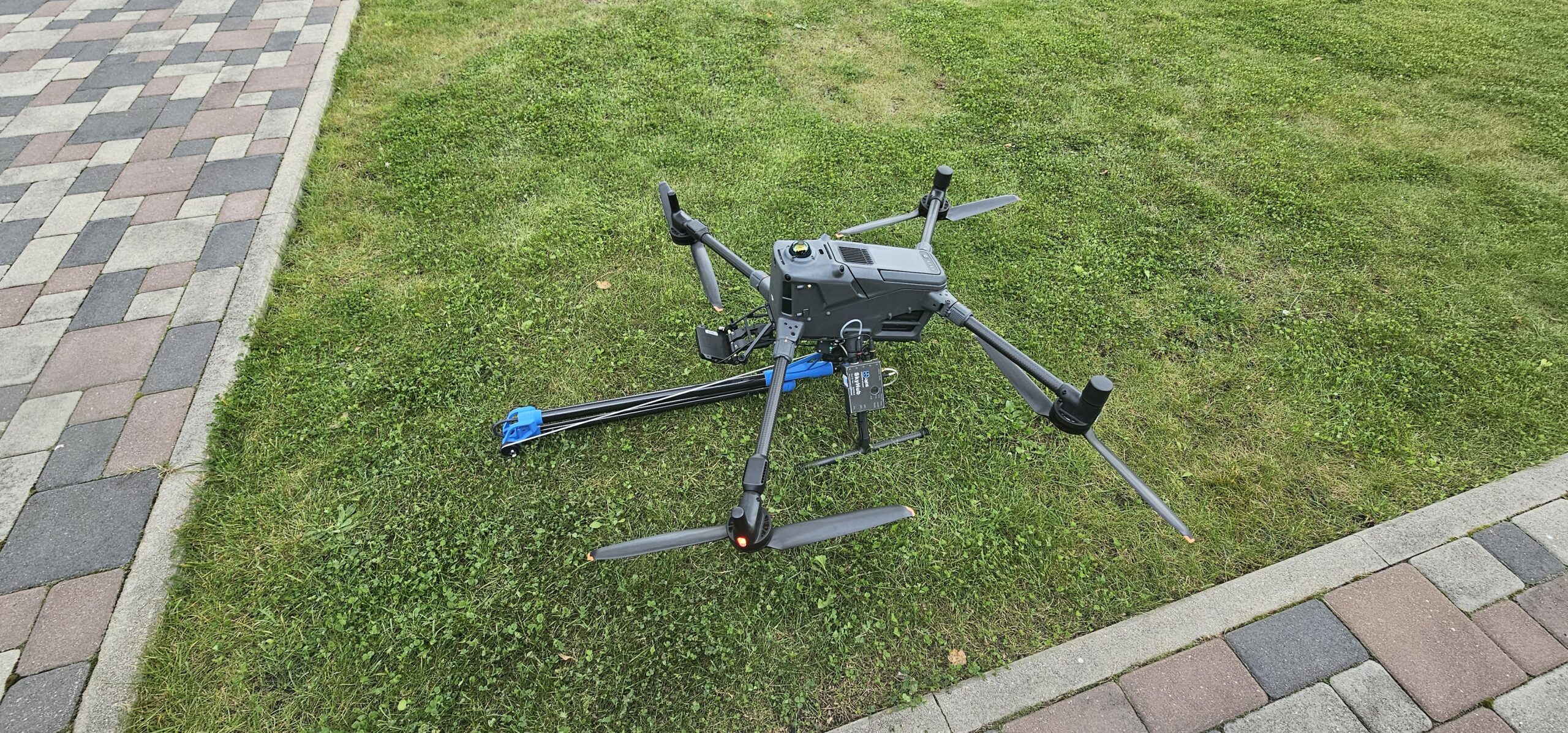




DJI Matrice M400
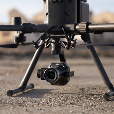
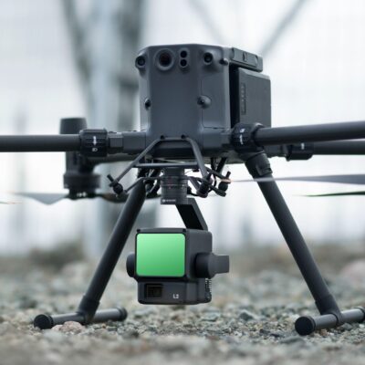
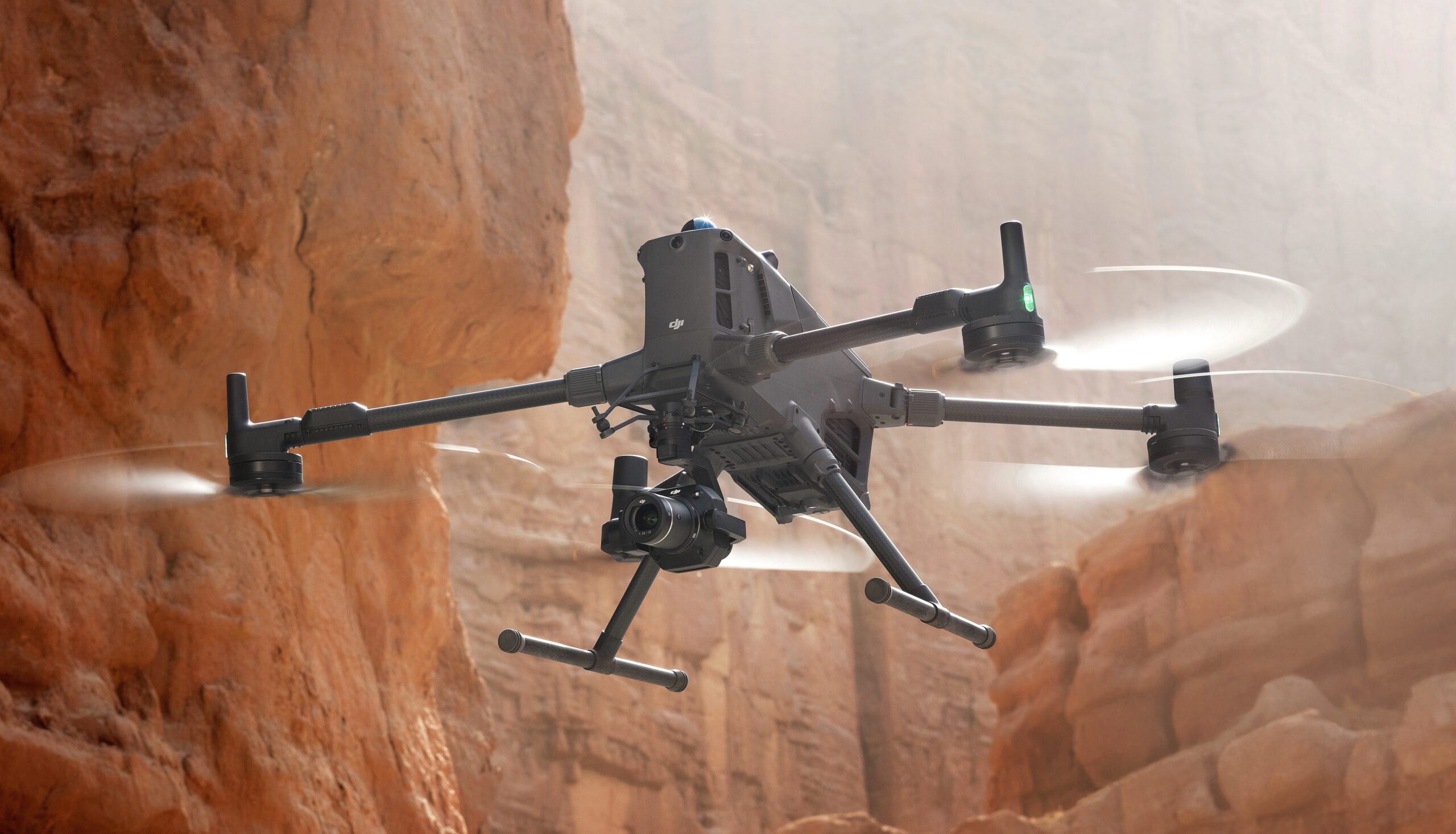
The DJI Matrice 400 is DJI Enterprise’s most capable commercial drone platform, engineered to deliver exceptional performance across surveying, inspection, public safety, and industrial operations. Designed for organisations that require maximum flexibility, the aircraft combines long flight endurance, heavy-lift capability, and intelligent automation into a single platform. Supporting payloads of up to 6 kg, the Matrice 400 is compatible with the latest DJI Enterprise sensors—including the Zenmuse H30 Series, Zenmuse L2, Zenmuse L3 and Zenmuse P1—as well as third-party payloads through the upgraded E-Port V2 interface, making it suitable for an extensive range of professional applications.
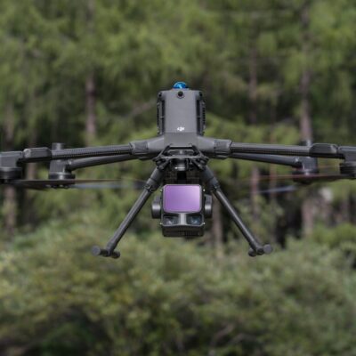
At the heart of the Matrice 400 is an advanced navigation and safety system developed to operate confidently in complex environments. Rotating LiDAR, millimetre-wave radar, and low-light vision sensors continuously monitor the aircraft’s surroundings to provide intelligent obstacle detection and avoidance. This enables the drone to identify hazards such as buildings, cranes, and even overhead transmission cables, allowing operators to carry out inspections of power infrastructure and industrial assets with increased confidence and improved operational safety.
Intelligent Flight Planning
The Matrice 400 introduces advanced automated flight planning capabilities that significantly reduce survey time while improving data consistency. Using DJI Pilot 2 or DJI FlightHub 2, operators can create intelligent slope routes and geometric flight paths for building facades, embankments, quarries, bridges, and other complex structures. These automated flight modes optimise aircraft positioning and image collection, enabling faster acquisition of accurate geospatial datasets while reducing pilot workload and improving repeatability across multiple missions.
Combined with centimetre-level RTK positioning and DJI Terra processing software, these intelligent workflows allow surveyors and inspection teams to produce highly accurate orthomosaics, digital terrain models, point clouds and 3D reconstructions suitable for engineering, environmental monitoring, and infrastructure management.
Built for Enterprise Operations
Designed for demanding commercial environments, the Matrice 400 delivers up to 59 minutes of flight time while carrying professional payloads, allowing larger areas to be surveyed or inspected without frequent battery changes. The aircraft integrates seamlessly with DJI FlightHub 2 for cloud-based fleet management, remote aircraft control, and live mission monitoring, providing organisations with a complete operational ecosystem from mission planning through to data capture and analysis.
The open architecture of the Matrice 400 also supports developers through DJI’s Payload SDK, Mobile SDK and Cloud API, enabling custom payload integration, automated workflows, and direct connectivity with third-party software platforms. Whether deployed for infrastructure inspection, emergency response, aerial mapping or environmental monitoring, the Matrice 400 provides a scalable platform capable of adapting to future operational requirements.
Typical Applications
• Land surveying and mapping
• LiDAR surveying
• Photogrammetry
• Powerline inspection
• Wind turbine inspection
• Solar farm inspection
• Oil and gas facilities
• Railway inspection
• Roads and bridges
• Construction monitoring
• Mining and quarry operations
• Forestry management
• Water resource management
• Maritime inspection
• Search and rescue
• Fire and emergency response
• Public safety operations
• Environmental monitoring