





DJI Zenmuse L2
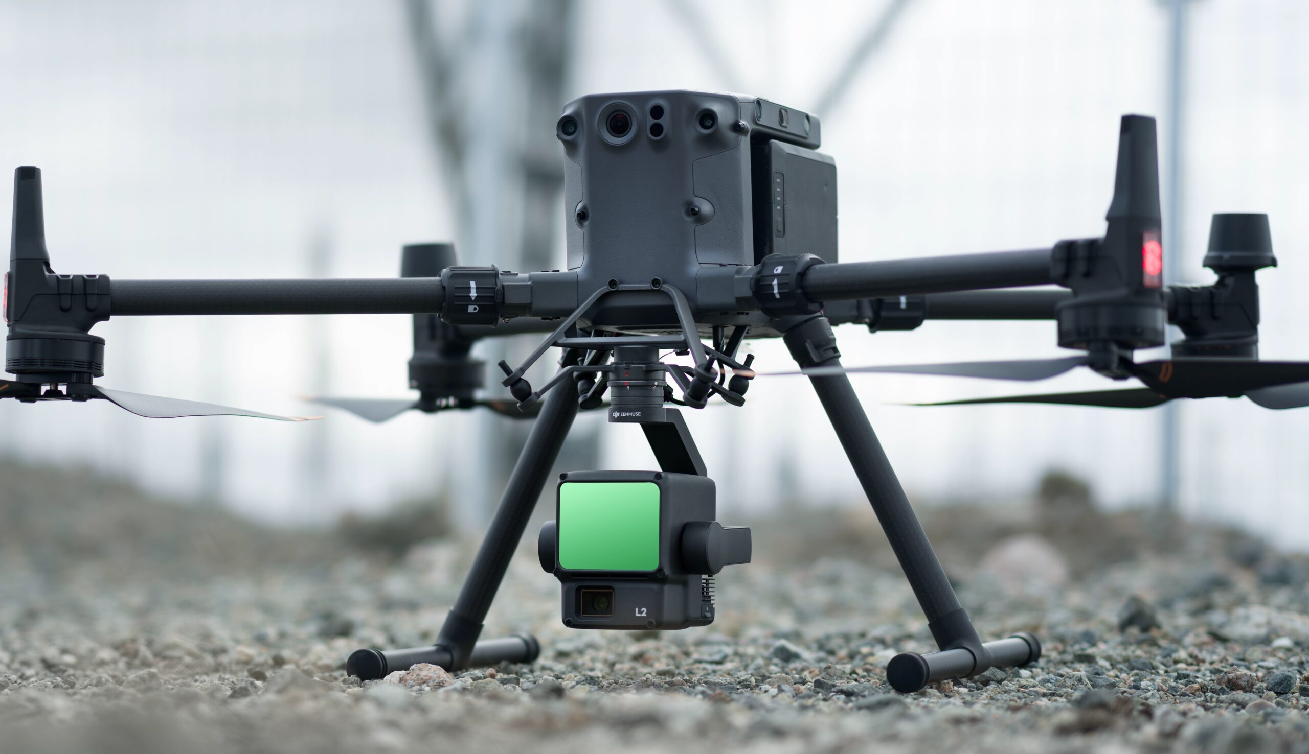
The DJI Zenmuse L2 is an advanced aerial LiDAR payload that combines high-precision laser scanning, a 4/3 CMOS RGB mapping camera and an upgraded inertial measurement unit (IMU) into a single integrated solution. Designed for professional surveying, engineering, and infrastructure inspection, the L2 delivers highly accurate point cloud data while simplifying aerial mapping workflows for projects requiring detailed terrain and asset information.
Purpose-built for the DJI Matrice 350 RTK and Matrice 400 platforms, the Zenmuse L2 offers exceptional operational efficiency and accuracy. Its upgraded LiDAR sensor provides greater ranging capability, increased point density and improved penetration through vegetation, while the integrated RGB camera captures high-resolution imagery for colourised point clouds, orthomosaics and realistic 3D models.
High-Precision LiDAR Mapping
The Zenmuse L2 enables survey teams to rapidly collect dense point cloud data across large areas with centimetre-level accuracy. Supporting multiple return measurements and high-frequency laser pulses, the system accurately captures terrain beneath vegetation, complex infrastructure, and challenging landscapes. This reduces field time while providing highly detailed datasets suitable for engineering design, construction planning, and environmental analysis.
Built for Professional Geospatial Workflows
Whether surveying transport corridors, utility networks, mining operations, forests, or construction sites, the Zenmuse L2 delivers dependable performance in demanding environments. Fully integrated with DJI Terra and compatible with leading point cloud processing software, it enables efficient processing of LiDAR and RGB data into accurate digital terrain models, digital surface models, and high-quality 3D reconstructions.
Typical Applications
• LiDAR topographic surveys
• Corridor mapping
• Powerline inspection
• Forestry and vegetation analysis
• Mining and quarry surveying
• Construction progress monitoring
• Digital terrain modelling (DTM)
• Digital twin creation
• Infrastructure inspection
• Emergency response and disaster assessment