





DJI Zenmuse P1

DJI Zenmuse P1

  • A 45 MP full-frame aerial survey camera with interchangeable lenses.
  • Designed for professional photogrammetry, mapping, surveying and inspection
  • Compatible with DJI Matrice 300 RTK, Matrice 350 RTK and Matrice 400
  • Provides topographical context for geophysical surveys like magnetics and GPR

Enquiry

DJI Zenmuse P1

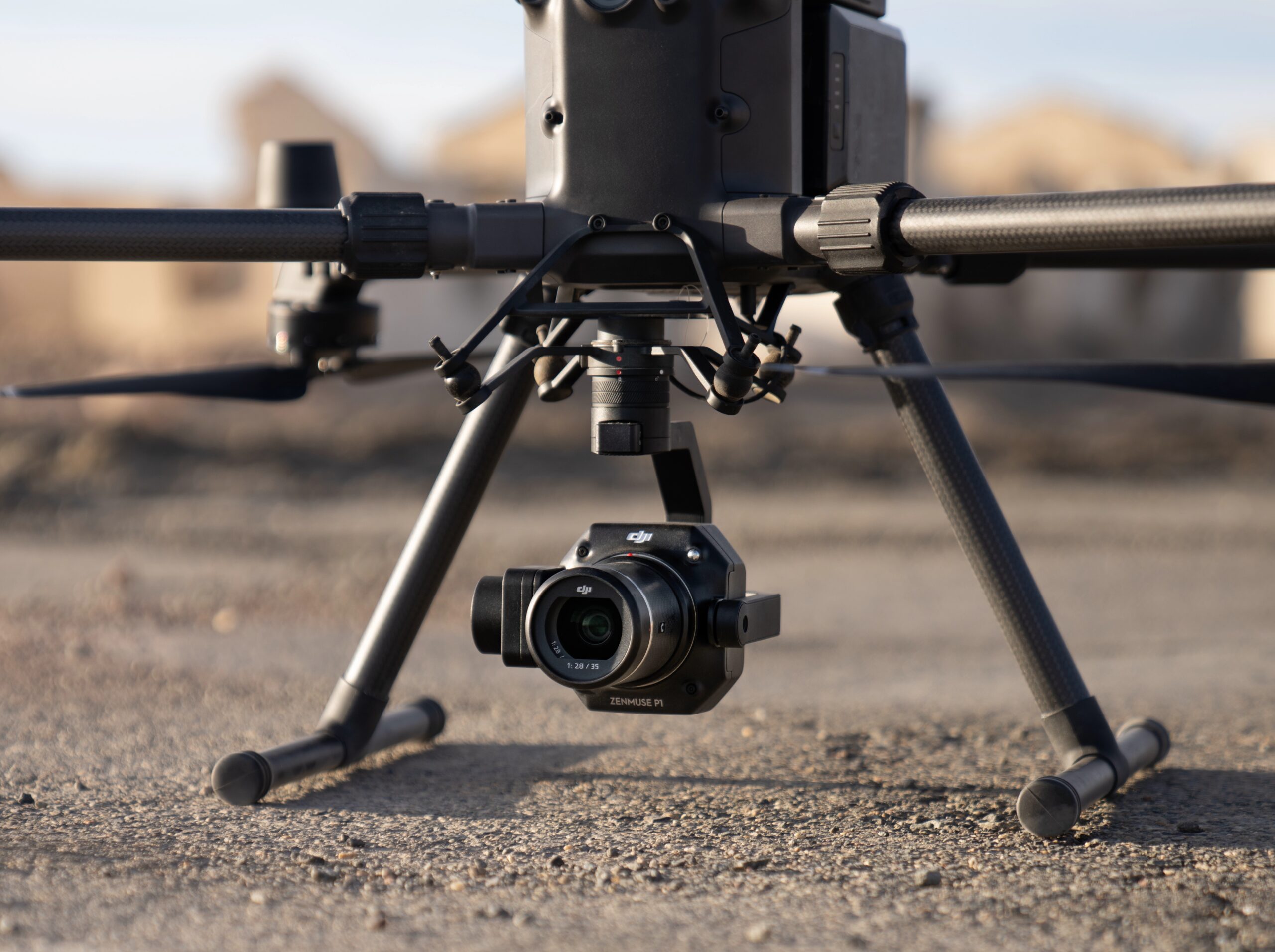
The DJI Zenmuse P1 is a professional full-frame aerial imaging payload designed to deliver survey-grade photogrammetry with exceptional speed and accuracy. Featuring a 45 MP full-frame CMOS sensor and a global mechanical shutter, the P1 enables surveyors, engineers, and geospatial professionals to capture high-resolution imagery while maintaining centimetre-level mapping accuracy. Fully integrated into the DJI Enterprise ecosystem, it provides a streamlined solution for large-scale mapping, inspection, and 3D modelling projects.

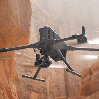
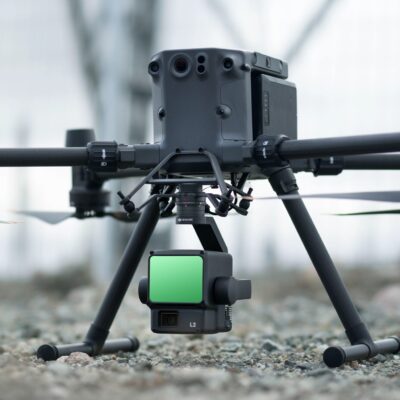
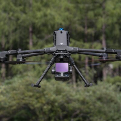
Designed for seamless operation with the DJI Matrice 300 RTK, Matrice 350 RTK and Matrice 400 platforms, the Zenmuse P1 combines advanced imaging performance with reliable flight operations. Its interchangeable DJI DL lenses allow operators to optimise image capture for different survey requirements, while TimeSync 2.0 synchronises the camera, flight controller and RTK module to ensure every image is accurately geotagged for efficient post-processing.

Fast, Accurate Aerial Mapping
The Zenmuse P1 significantly reduces the time required to complete aerial surveys by capturing high-resolution images at intervals as short as 0.7 seconds. The full-frame sensor captures greater ground detail in each image, enabling larger areas to be surveyed with fewer flight lines while maintaining excellent image overlap. The result is faster data acquisition, reduced field time and highly detailed orthomosaics, digital surface models and 3D reconstructions.

Built for Professional Surveying Workflows
Whether supporting land surveying, construction, mining, infrastructure inspection or environmental monitoring, the Zenmuse P1 delivers the accuracy and reliability demanded by professional geospatial applications. Fully compatible with DJI Terra and leading third-party photogrammetry software, it integrates effortlessly into existing mapping workflows, providing an efficient end-to-end solution for producing accurate geospatial datasets from a single flight.

Typical Applications
• Topographic mapping
• Cadastral surveying
• Construction & AEC
• Mining & quarry surveying
• Utilities & infrastructure inspection
• Forestry & natural resource management
• Geological surveys
• Disaster response
• Digital twins & 3D modelling


DJI Zenmuse P1

• 45 MP full-frame sensor for exceptional image quality
• Global mechanical shutter eliminates rolling-shutter distortion
• Capture images every 0.7 seconds for high-speed mapping
• TimeSync 2.0 microsecond-level synchronisation
• Interchangeable 24 mm, 35 mm and 50 mm lenses
• Smart Oblique Capture for efficient 3D data collection
• High-accuracy photogrammetry without ground control points in many workflows
• Capture up to 3 km² in a single flight (conditions dependent)
• Supports 2D orthomosaics, 3D models and detailed asset inspection

Key Technical Specifications
• Camera: 45 MP full-frame CMOS
• Sensor Size: 35.9 × 24 mm
• Pixel Size: 4.4 μm
• Photo Resolution: 8192 × 5460
• Photo Interval: 0.7 s
• Mechanical Shutter: Global mechanical shutter (up to 1/2000 s)
• Electronic Shutter: up to 1/8000 s
• Lens Options: DJI DL 24 mm, 35 mm and 50 mm
• Gimbal: 3-axis stabilised
• Weight: Approx. 800 g
• Power Consumption: Approx. 20 W
• Operating Temperature: -20°C to +50°C
• Accuracy (Mapping Mission): 3 cm horizontal / 5 cm vertical

The DJI Zenmuse P1 has a 45MP full-frame sensor.

JBUAS offers reliable domestic and international shipping through DHL. All deliveries are fully tracked and insured to ensure peace of mind from dispatch to arrival.

UK Delivery

  • In‑stock items: Delivered within 2-3 working days
  • Next Day Delivery: Available to many UK mainland addresses
  • Non‑stock items: Delivered within 4-5 weeks

International Delivery

As a proud member of the Chartered Institute of Export & International Trade, JBUAS is a trusted supplier of drones and sensors to global markets. International orders are fulfilled via DHL, with delivery available across Europe and worldwide to business customers.

UgCS sensors are capable of being employed across a variety of sectors:

Waste (landfill) and Water Treatment

Water and Flood Management

Construction

Power and Energy

Archaeology

Mining and Quarrying

Top