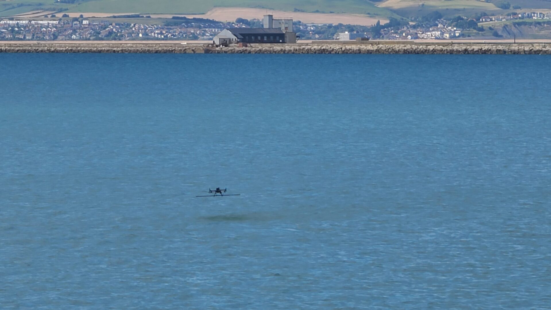
SENSYS R4 Magnetometer: With a breathtaking backdrop, Portland harbour (an ex-Royal Navy port) delivers the perfect location to demonstrate the capabilities of the UgCS True Terrain Following (TTF) system and to fine-tune its performance in the most challenging environment – over the sea!
Utilising an M300RTK coupled to a SENSYS R4 over a period of no less than three whole days, we slowly but surely uncovered the optimal settings and configuration for a flight over the sea at 1m and less ASL. These flights are not for the faint-hearted, especially when the drone lowers itself from over 20m to 1m in one smooth but unrelenting motion.
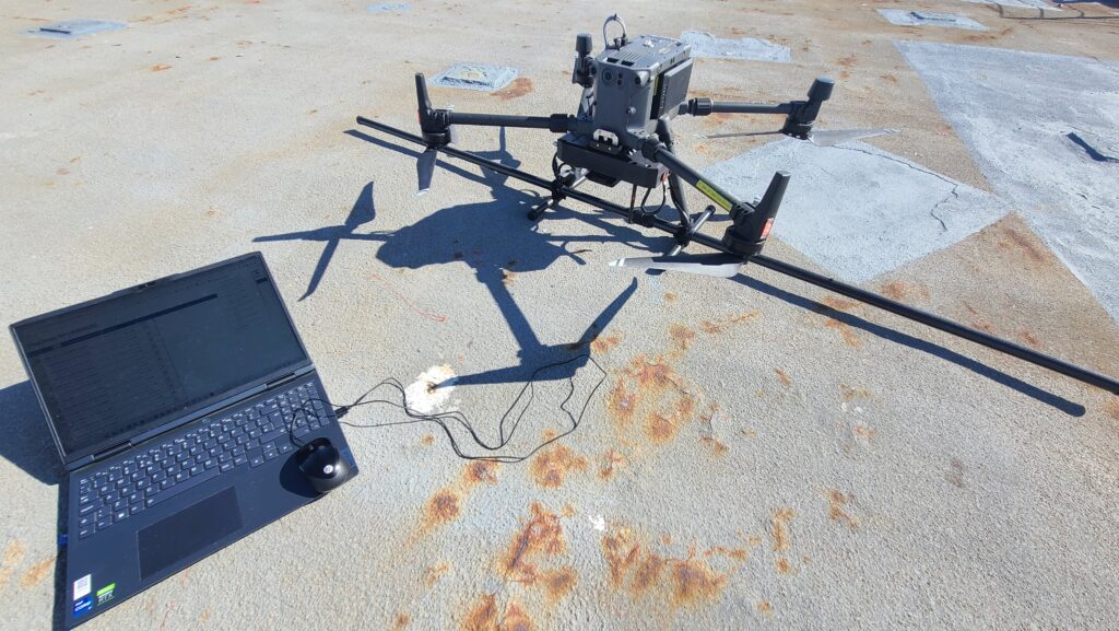
SENSYS R4 Magnetometer & Processing Software
As we were flying the TTF system, we also collected magnetic data for processing post-trial flights. Using the SENSYS R4 data processing flow, rapid analysis was possible after each flight, including the exact positioning of any anomalies.
Drone Magnetometer Applications
– Archaeology (buried walls and pits, amongst other uses)
– Pipeline route detection (Gas and Water pipelines)
– HV Cable route detection
– UXO clearance
– Mineral Investigations
Equipment Used on Trial
– M300RTK UAV (with RTK Correction)
– SENSYS R4 UAV Magnetometer
– UgCS Automated Mission Software
– UgCS SkyHub with TTF Capability
– SENSYS Magneto Processing Software
Conclusion
JBUAS has now fine-tuned the TTF to a standard we will roll out to all our customers. We have demonstrated over three whole days that the TTF system is more than capable of working over the sea with normal wind conditions while carrying the 2m pole of the R4.
JBUAS can support you with your next trials, get in touch here