That is precisely why JBUAS established their UK Test & Training Centre (TTC), which is dedicated to UAV geophysical sensor systems. Read more
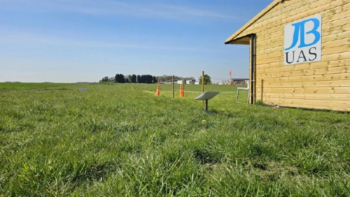



That is precisely why JBUAS established their UK Test & Training Centre (TTC), which is dedicated to UAV geophysical sensor systems. Read more

Ground Penetrating Radar (GPR) is widely used across the UK for utility mapping, archaeology, environmental assessments, infrastructure investigations and geophysical surveys. Traditionally, survey teams have completed these tasks on foot using hand-held equipment. Today, SPH Engineering‘s integrated systems are providing UK surveyors with a powerful alternative through UAV-mounted Ground Penetrating Radar, enabling faster data collection, improved site accessibility and highly repeatable survey workflows. Read more
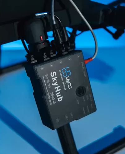
Organisations across the UK rely on drones for surveying, inspection and environmental monitoring, and they need confidence that mission data stays secure. SkyHub, SPH Engineering’s onboard computer, gives operators full control by storing and processing all mission data offline. This approach removes cloud-related risks and ensures sensitive information remains under operator ownership. Read more
UgCS (Universal Ground Control Software) from SPH Engineering has become the mission‑planning standard for UK surveyors who need reliable, terrain‑aware, multi‑sensor drone workflows. As SPH Engineering’s UK integration partner, JBUAS supports surveyors across construction, utilities, heritage, energy and environmental sectors with fully configured UgCS‑based systems, training, and sensor‑specific workflows. Read more

Why True Terrain Following radar is now essential for UK geophysical, environmental and industrial drone operations.
Low-altitude UAV flight is where the most valuable survey data is collected — but also where the risks multiply. Magnetometers, GPR, methane sensors, echo sounders and other specialist payloads all require flight profiles just metres above the ground or water surface. At these altitudes, relying on barometric height or basic OEM terrain awareness is not enough. Read more
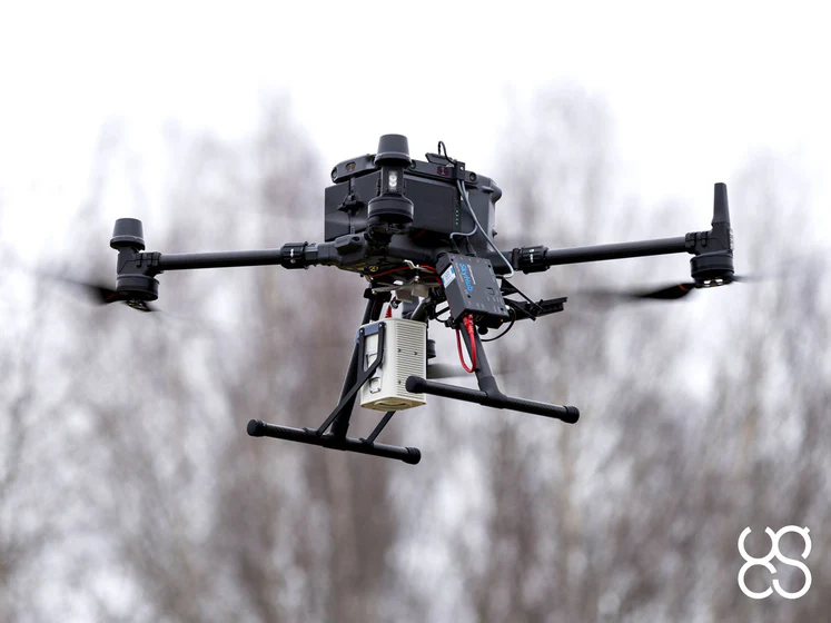
Methane emissions pose a growing challenge for UK industry, from landfill operations and chemical processing plants to extensive pipeline networks.
Read more

Over the past decade, drone‑based sensing has moved from experimental curiosity to a proven, commercially viable toolset for surveyors, engineers, and environmental specialists. Read more