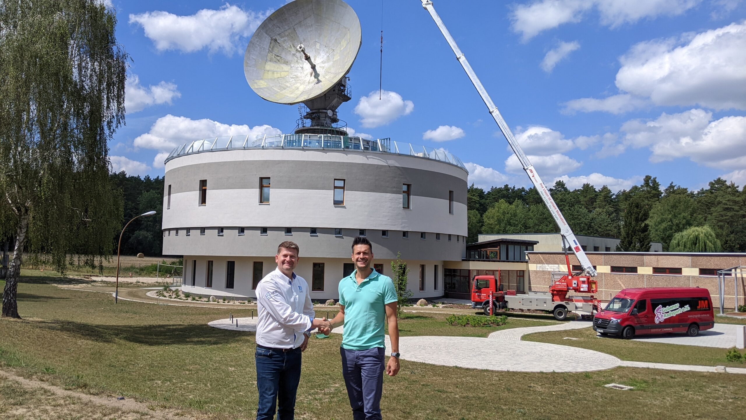
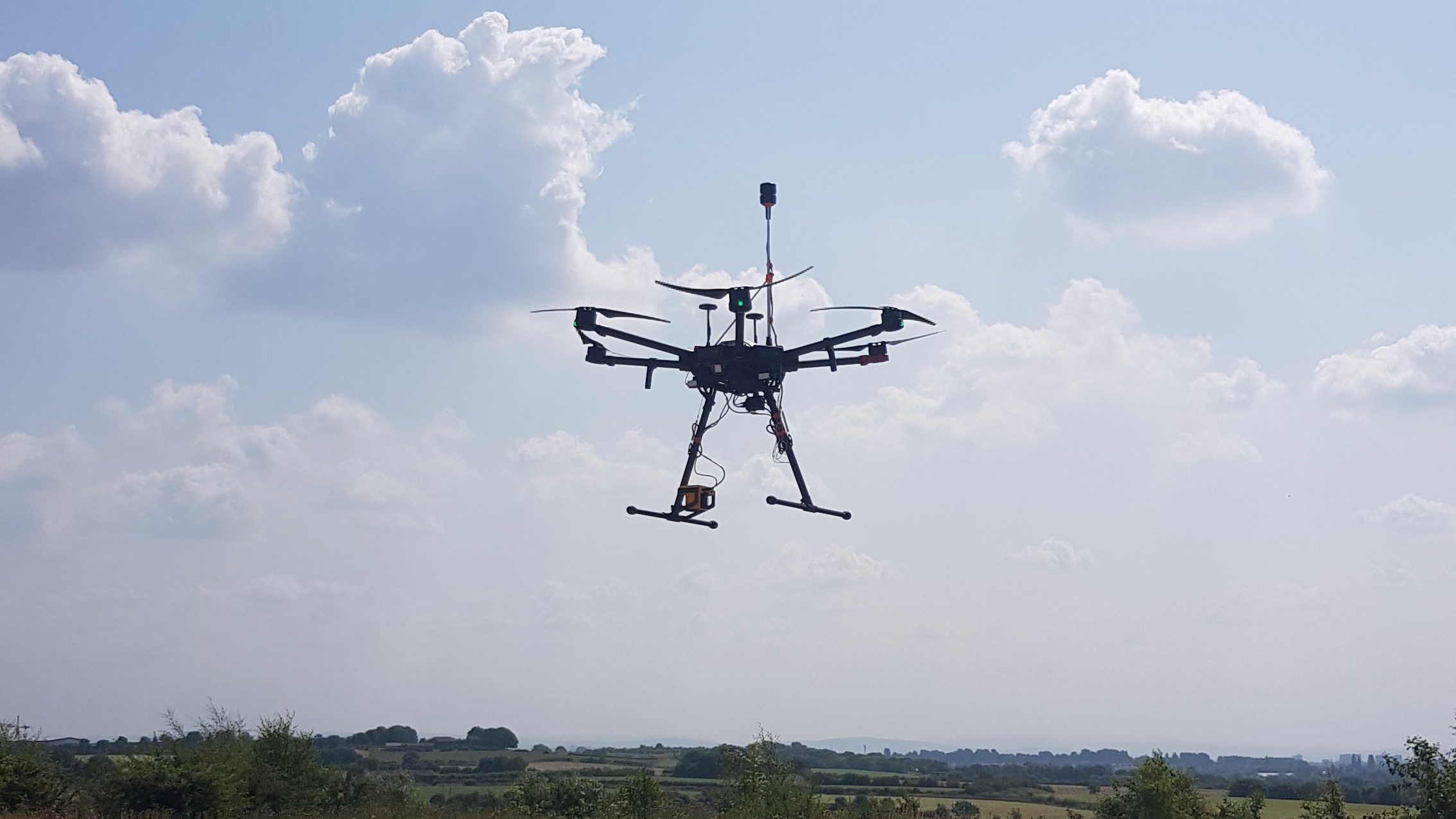
JBUAS was happy to welcome visitors to our test and trial centre recently to see drone sensors perform on our flying range.
GEOBusiness 2024 Exhibition & Conference
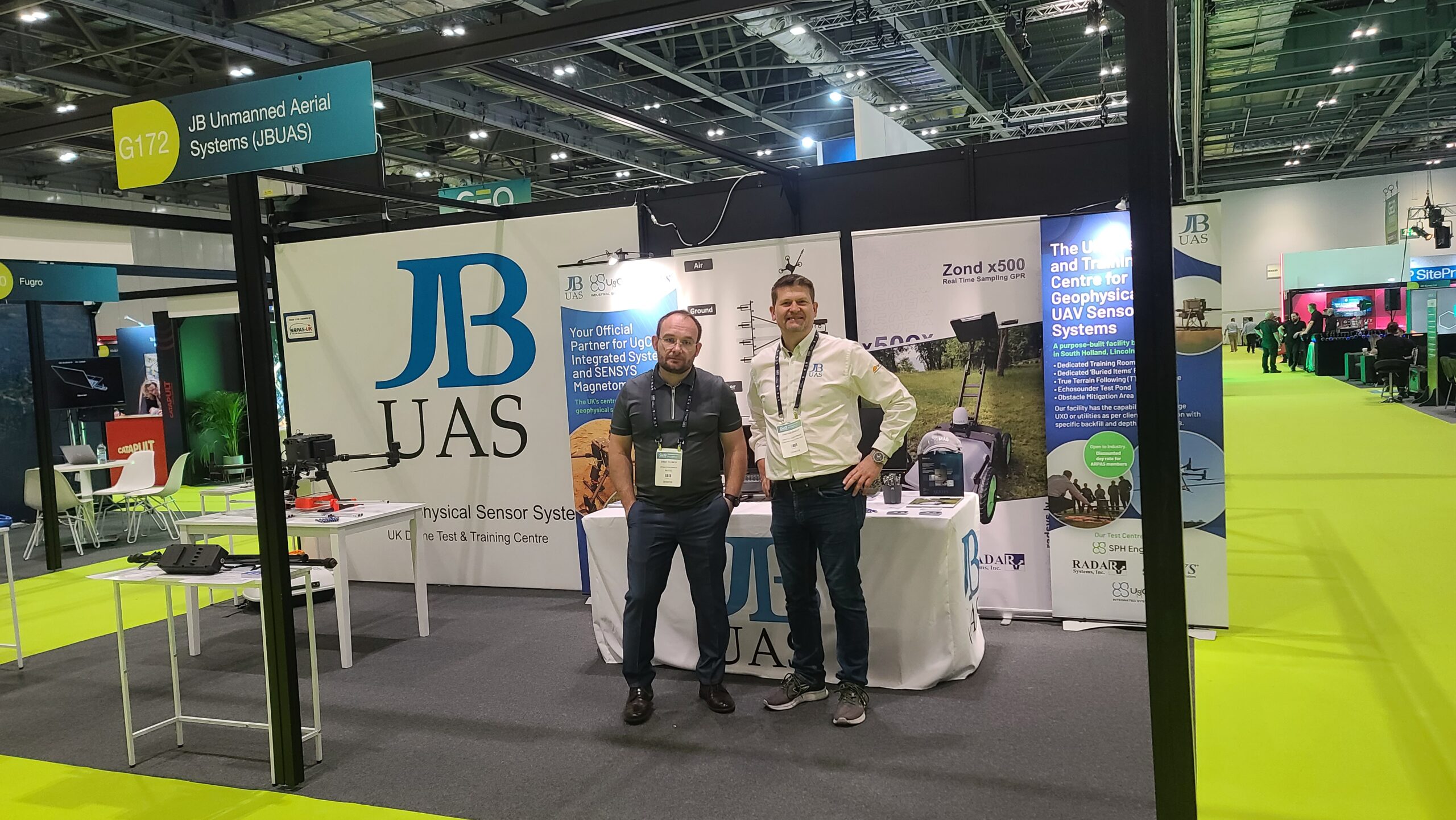
JBUAS visited GEOBusiness 2024 (4-5th June) to show off our latest sensors and systems. GEOBUSINESS 2024 is the UK’s leading platform for the drone industry to connect with the geospatial community. This year there were solutions from 130+ geospatial brands.
SENSYS R4 Magnetometer Sea Trials
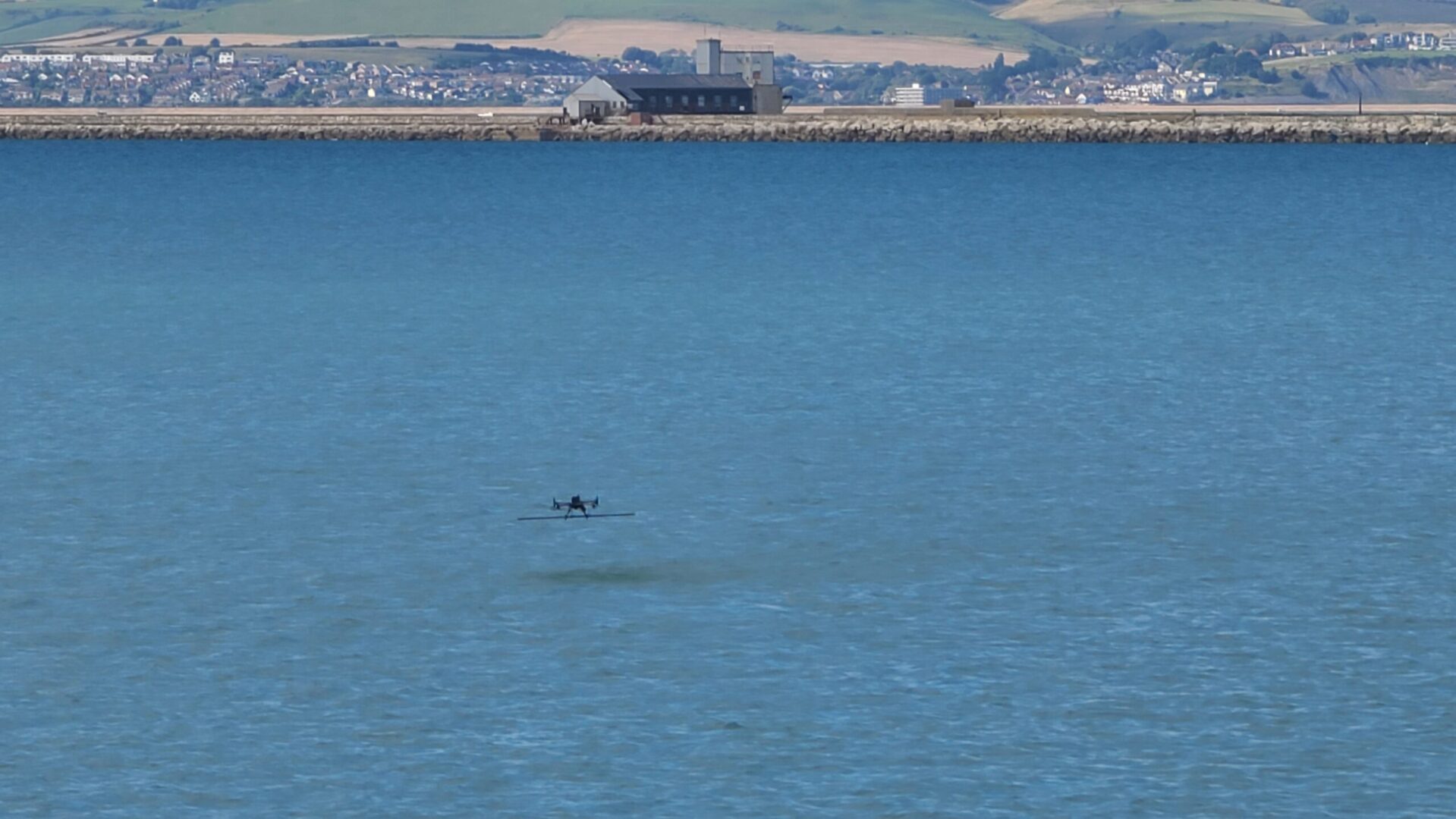
SENSYS R4 Magnetometer: With a breathtaking backdrop, Portland harbour (an ex-Royal Navy port) delivers the perfect location to demonstrate the capabilities of the UgCS True Terrain Following (TTF) system and to fine-tune its performance in the most challenging environment – over the sea!
Workswell Thermal Imaging Cameras
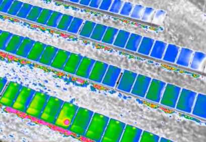
JBUAS, supplier of UAV-based sensor solutions, has signed a long-term sales agreement with EU manufacturer Workswell to distribute its range of thermal imaging cameras in the UK. Workswell’s ‘WIRIS Pro’ thermal camera, when combined with drone technology, is particularly useful for asset inspection, the detection of unseen leaks in gas pipes, faults in pipe insulation, damaged or faulty solar panels, or even hot side inspections found within the oil & gas sector.
Delivery of Falcon Drone Methane Survey System
JBUAS has deliverd the impressive UgCS Pergam Falcon TDLAS system to a UK client for use on methane survey projects in 2022. The volume of required work in 2022 is expected to triple, and further systems will be ordered to meet these expectations via a framework arrangement.
UgCS Expert – New LIDAR Software
SPH Engineering have released their UgCS LIDAR Software for UAV-based mapping – UgCS EXPERT. The UgCS LIDAR toolset unlocks the full potential of LIDARs making
remote sensing most effective with no human errors. This toolset builds on the UgCS Pro software and gives you everything you would expect from that package and more.
UgCS Obstacle Detection Radar (ODR)
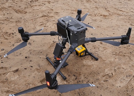
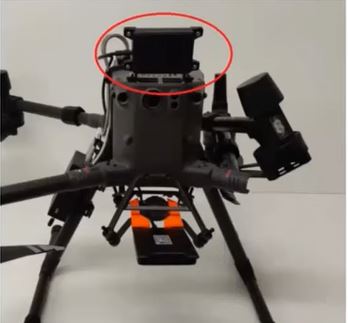
We are pleased to launch the new forward-facing UgCS Obstacle Detection Radar (ODR) for the DJI M300RTK. The ODR works with the exisitng UgCS radar altimeter on the M300 RTK to provide users with extra piece of mind when flying geophysical sensor missions.
Drone Methane Detection: Viridor Partners with JBUAS
Drone Methane detection: Viridor is demonstrating its ambition to tackle climate change by supporting the development of new technologies for measuring and reporting methane emissions across its UK landfill sites.
Read more
JBUAS Partners Coptrz: JBUAS signs Technical Co-Operation Agreement with Coptrz
JBUAS partners Coptrz: JBUAS has finalised a long-term co-operation agreement with the UK’s leading drone technology provider, Coptrz. At the start of 2021, JBUAS and COPTRZ signed a long-term co-operation agreement that would see both partners work together to increase the awareness of geophysical sensors systems and how they can be deployed on projects.
